


0
Ascents

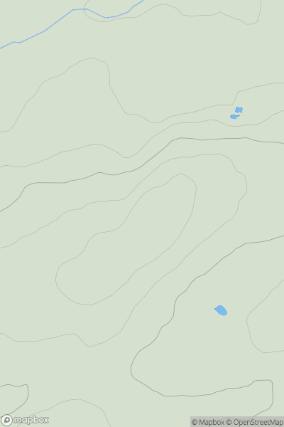
 Central Scotland from Dumbarton to Montrose
 0
0 181.0
181.0User Activity
No recent Activity
![Thumbnail image for White Hill [The River Tweed to the English Border] [NT526118] showing contour plot for surrounding peak](/static/img/mountains_img_db/14101_White_Hill_[The_River_Tweed_to_the_English_Border]_[NT526118].png)
0
Ascents
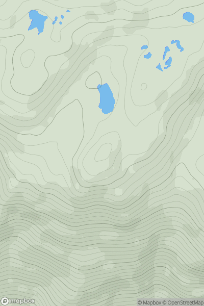
The River Tweed to the English Border
0
302.0User Activity
No recent Activity
0
Ascents
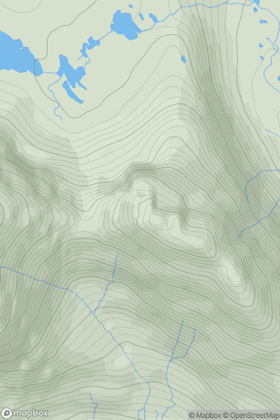
Mallaig to Fort William
0
541.0User Activity
No recent Activity
0
Ascents
Loch Torridon to Loch Maree
0
864.0User Activity
No recent Activity
![Thumbnail image for Am Bodach [Loch Leven to Rannoch Station] showing contour plot for surrounding peak](/static/img/mountains_img_db/180_Am_Bodach_[Loch_Leven_to_Rannoch_Station].png)
0
Ascents
Loch Leven to Rannoch Station
0
941.9User Activity
No recent Activity
![Thumbnail image for Cnoc an Leathaid Bhuidhe [Lochinver to Ullapool] [NC231153] showing contour plot for surrounding peak](/static/img/mountains_img_db/9441_Cnoc_an_Leathaid_Bhuidhe_[Lochinver_to_Ullapool]_[NC231153].png)
0
Ascents
Lochinver to Ullapool
0
368.0User Activity
No recent Activity