


0
Ascents

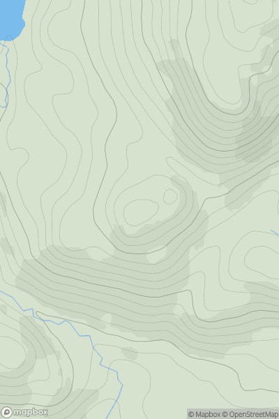
 Pitlochry to Braemar & Blairgowrie
 0
0 293.0
293.0User Activity
No recent Activity
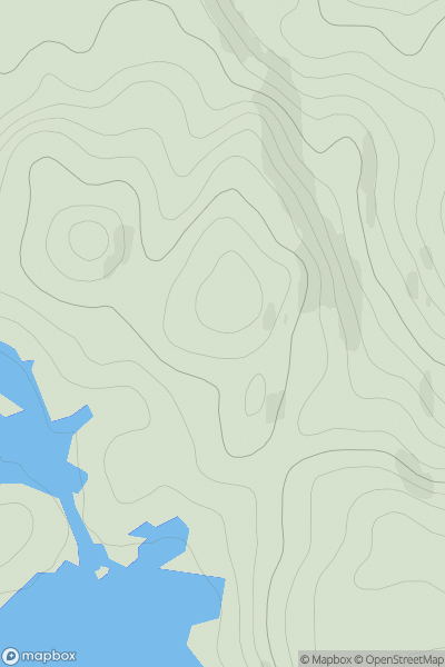
![Thumbnail image for Meall nam Fuaran [Loch Tay to Perth] showing contour plot for surrounding peak](/static/img/mountains_img_db/2936_Meall_nam_Fuaran_[Loch_Tay_to_Perth].png)
0
Ascents
Loch Tay to Perth
0
805.0User Activity
No recent Activity
0
Ascents
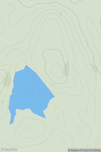
Scourie to Lairg
0
181.0User Activity
No recent Activity
![Thumbnail image for Black Hill [Tomintoul to Banff] [NJ460429] showing contour plot for surrounding peak](/static/img/mountains_img_db/11641_Black_Hill_[Tomintoul_to_Banff]_[NJ460429].png)
0
Ascents
Tomintoul to Banff
0
321.0User Activity
No recent Activity
0
Ascents
The Glenkens to Annandale
0
214.0User Activity
No recent Activity
![Thumbnail image for Meall a' Chaorainn [Lochinver to Ullapool] showing contour plot for surrounding peak](/static/img/mountains_img_db/9366_Meall_a'_Chaorainn_[Lochinver_to_Ullapool].png)
0
Ascents
Lochinver to Ullapool
0
467.0User Activity
No recent Activity