

![Thumbnail image for Mid Rig [The River Tweed to the English Border] [NT180122] showing contour plot for surrounding peak](/static/img/mountains_img_db/1907_Mid_Rig_[The_River_Tweed_to_the_English_Border]_[NT180122].png)


0
Ascents

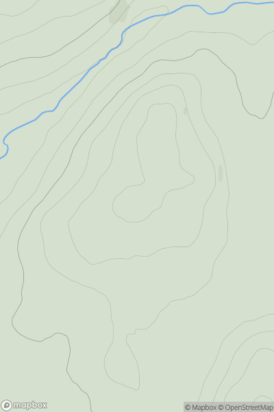
 The River Tweed to the English Border
 0
0 615.8
615.8User Activity
No recent Activity
0
Ascents
North Skye and Raasay
0
92.0User Activity
No recent Activity
0
Ascents
Glen Albyn and the Monadh Liath
0
451.0User Activity
No recent Activity
0
Ascents
The Glenkens to Annandale
0
511.0User Activity
No recent Activity

0
Ascents
The River Tweed to the English Border
0
744.0User Activity
No recent Activity
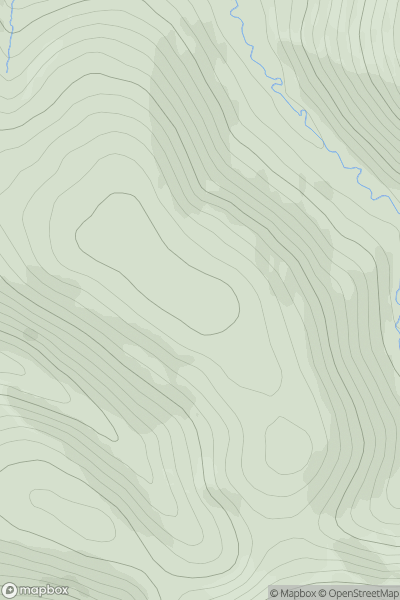
![Thumbnail image for Carn Liath [Loch Lochy to Loch Laggan] showing contour plot for surrounding peak](/static/img/mountains_img_db/668_Carn_Liath_[Loch_Lochy_to_Loch_Laggan].png)
0
Ascents
Loch Lochy to Loch Laggan
0
1006.0User Activity
No recent Activity