


0
Ascents

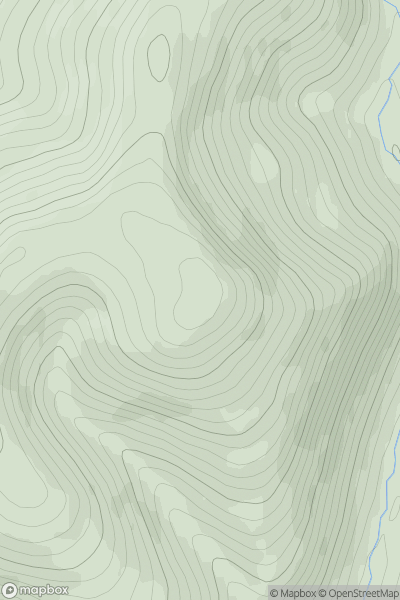
 The River Tweed to the English Border
 0
0 549.0
549.0User Activity
No recent Activity
0
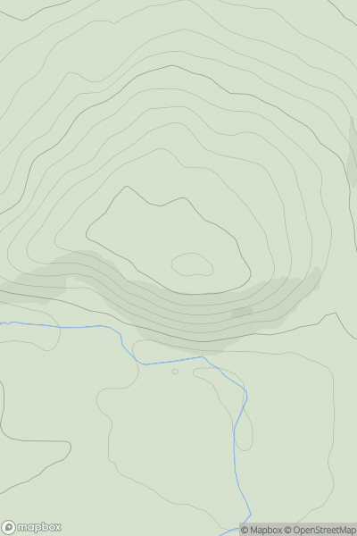
Ascents
Central Scotland from Dumbarton to Montrose
0
204.0User Activity
No recent Activity
0
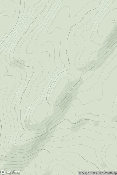
Ascents
Oban to Loch Fyne
0
332.0User Activity
No recent Activity
0
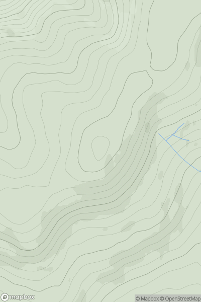
Ascents
Carrick and Galloway
0
565.0User Activity
No recent Activity
0
Ascents
Lewis and Nearby Islands
0
76.0User Activity
No recent Activity
0
Ascents
Jura, Scarba and Colonsay
0
33.0User Activity
No recent Activity