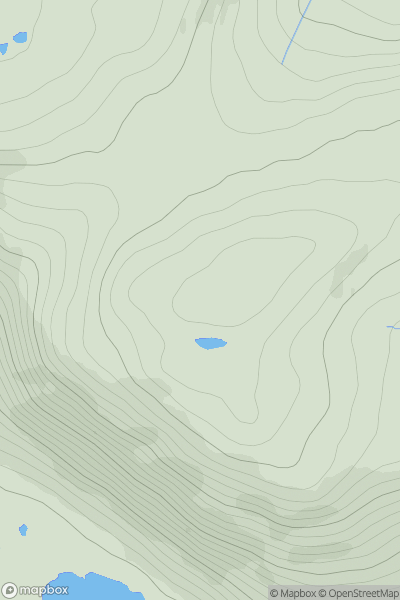
Ariel drone view of mountainous landscape with rolling clouds flowing over peak

Journal your hikes and share your adventures.

Bag peaks across the UK & Ireland, track your progress and see updates from Donder's growing community of hikers.

Donder's profile view available to users after sign-up, shows example user with progress tracking, hiking journal and user leaderboard

Thumbnail image for Stob Choire Claurigh showing contour plot for surrounding peak
SCO
Icon of location pin
1177m
Icon of vertical, double ended, arrow to symbolise height of mountain

Stob Choire Claurigh

Icon of mountain used to symbolise the number of ascents made by users

0
Ascents

Thumbnail image for Creag Mhor [Loch Fyne to Bute and the Firth of Clyde] [NR942754] showing contour plot for surrounding peak
SCO
Icon of location pin
255m
Icon of vertical, double ended, arrow to symbolise height of mountain

Creag Mhor [Loch Fyne to Bute and the Firth of Clyde] [NR942754]

Icon of mountain used to symbolise the number of ascents made by users

0
Ascents

Thumbnail image for Meall Loch Chriostina showing contour plot for surrounding peak
SCO
Icon of location pin
182m
Icon of vertical, double ended, arrow to symbolise height of mountain

Meall Loch Chriostina

Icon of mountain used to symbolise the number of ascents made by users

0
Ascents

Thumbnail image for Mo Bhiogadail East Top showing contour plot for surrounding peak
SCO
Icon of location pin
342m
Icon of vertical, double ended, arrow to symbolise height of mountain

Mo Bhiogadail East Top

Icon of mountain used to symbolise the number of ascents made by users

0
Ascents

Thumbnail image for Cnoc Ruairidh showing contour plot for surrounding peak
SCO
Icon of location pin
72m
Icon of vertical, double ended, arrow to symbolise height of mountain

Cnoc Ruairidh

Icon of mountain used to symbolise the number of ascents made by users

0
Ascents

Thumbnail image for Cnoc na Stroine South Top showing contour plot for surrounding peak
SCO
Icon of location pin
390m
Icon of vertical, double ended, arrow to symbolise height of mountain

Cnoc na Stroine South Top

Icon of mountain used to symbolise the number of ascents made by users

0
Ascents