


0
Ascents

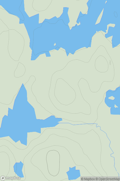
 Scourie to Lairg
 0
0 106.0
106.0User Activity
No recent Activity
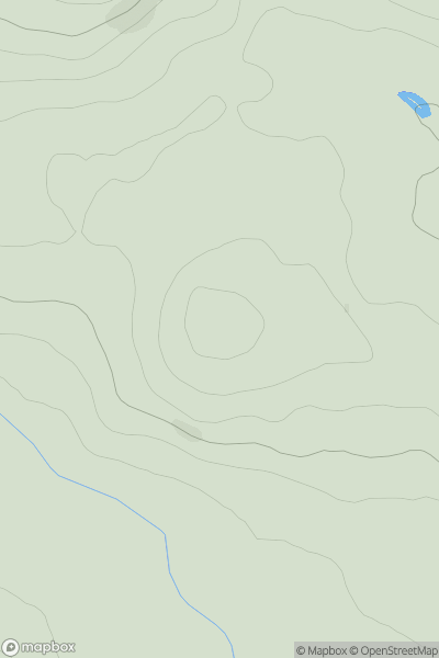
![Thumbnail image for A' Chrannag [Mull and Nearby Islands] showing contour plot for surrounding peak](/static/img/mountains_img_db/10373_A'_Chrannag_[Mull_and_Nearby_Islands].png)
0
Ascents
Mull and Nearby Islands
0
118.0User Activity
No recent Activity
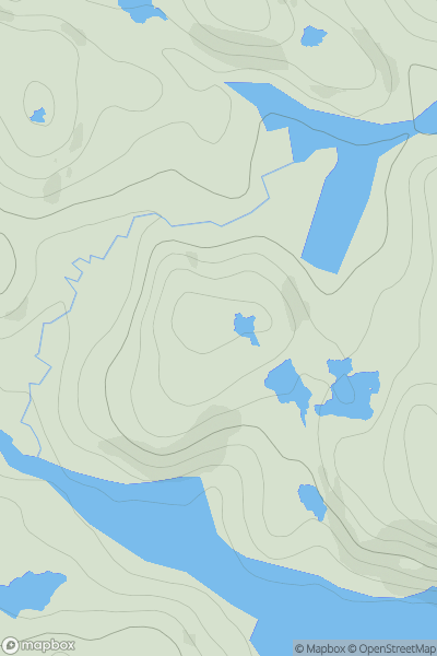
0
Ascents
Lochinver to Ullapool
0
194.0User Activity
No recent Activity
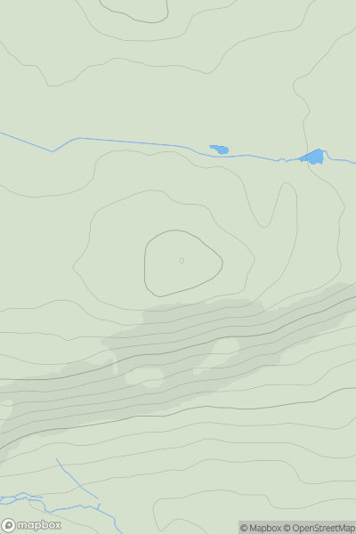
0
Ascents
Fraserburgh to the Dee Valley
0
187.5User Activity
No recent Activity
0
Ascents
Central Scotland from Dumbarton to Montrose
0
211.0User Activity
No recent Activity
0
Ascents
Loch Linnhe to Loch Etive
0
619.0User Activity
No recent Activity