


0
Ascents

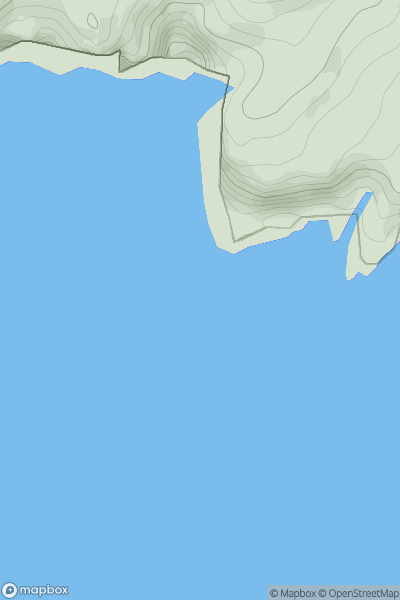
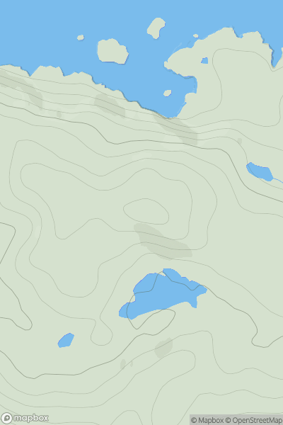
 North Skye and Raasay
 0
0 65.0
65.0User Activity
No recent Activity
0
Ascents
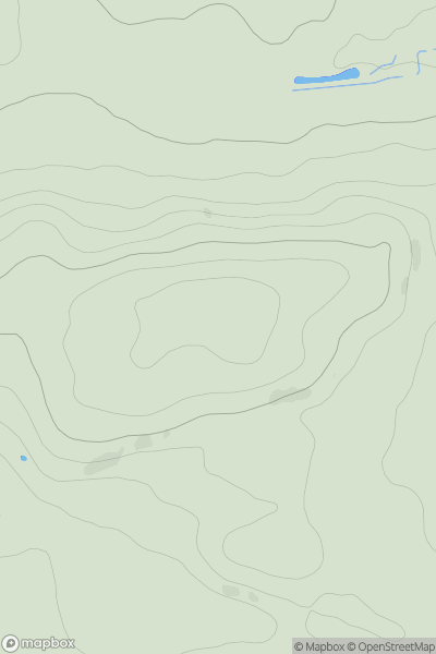
Fraserburgh to the Dee Valley
0
213.0User Activity
No recent Activity
0
Ascents
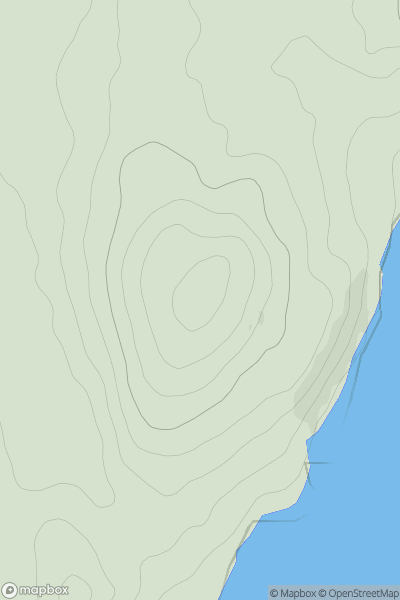
Carrick and Galloway
0
90.0User Activity
No recent Activity
0
Ascents
The River Tweed to the English Border
0
432.0User Activity
No recent Activity
0
Ascents
Lochinver to Ullapool
0
104.0User Activity
No recent Activity
0
Ascents
Scourie to Lairg
0
120.0User Activity
No recent Activity