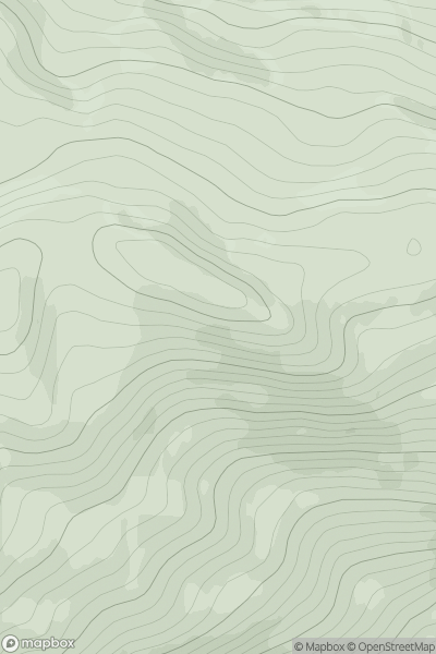
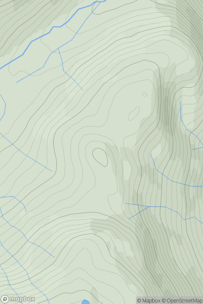
Ariel drone view of mountainous landscape with rolling clouds flowing over peak

Journal your hikes and share your adventures.

Bag peaks across the UK & Ireland, track your progress and see updates from Donder's growing community of hikers.

Donder's profile view available to users after sign-up, shows example user with progress tracking, hiking journal and user leaderboard

Thumbnail image for Mid Hill [The River Tweed to the English Border] [NT007185] showing contour plot for surrounding peak
SCO
Icon of location pin
470m
Icon of vertical, double ended, arrow to symbolise height of mountain

Mid Hill [The River Tweed to the English Border] [NT007185]

Icon of mountain used to symbolise the number of ascents made by users

0
Ascents

Thumbnail image for Carn a' Mhearlaich showing contour plot for surrounding peak
SCO
Icon of location pin
480m
Icon of vertical, double ended, arrow to symbolise height of mountain

Carn a' Mhearlaich

Icon of mountain used to symbolise the number of ascents made by users

0
Ascents

Thumbnail image for Sideabhal showing contour plot for surrounding peak
SCO
Icon of location pin
84m
Icon of vertical, double ended, arrow to symbolise height of mountain

Sideabhal

Icon of mountain used to symbolise the number of ascents made by users

0
Ascents

Thumbnail image for Druim Eadar Da Choire showing contour plot for surrounding peak
SCO
Icon of location pin
489m
Icon of vertical, double ended, arrow to symbolise height of mountain

Druim Eadar Da Choire

Icon of mountain used to symbolise the number of ascents made by users

0
Ascents

Thumbnail image for Dunglass showing contour plot for surrounding peak
SCO
Icon of location pin
153m
Icon of vertical, double ended, arrow to symbolise height of mountain

Dunglass

Icon of mountain used to symbolise the number of ascents made by users

0
Ascents

Thumbnail image for Stob an Fhithich showing contour plot for surrounding peak
SCO
Icon of location pin
419m
Icon of vertical, double ended, arrow to symbolise height of mountain

Stob an Fhithich

Icon of mountain used to symbolise the number of ascents made by users

0
Ascents