

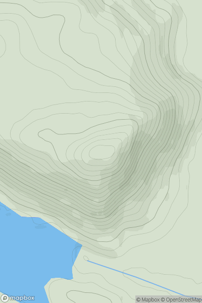
![Thumbnail image for Tullich Hill [Loch Long to Loch Lomond] showing contour plot for surrounding peak](/static/img/mountains_img_db/100_Tullich_Hill_[Loch_Long_to_Loch_Lomond].png)


0
Ascents

 Loch Long to Loch Lomond
 0
0 632.0
632.0User Activity
No recent Activity
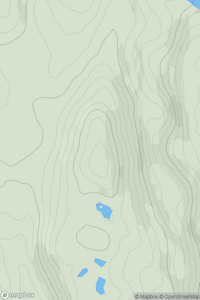
![Thumbnail image for Druim Buidhe [Oban to Loch Fyne] showing contour plot for surrounding peak](/static/img/mountains_img_db/10909_Druim_Buidhe_[Oban_to_Loch_Fyne].png)
0
Ascents
Oban to Loch Fyne
0
276.0User Activity
No recent Activity
0
Ascents
Kyle of Lochalsh to Garve
0
252.0User Activity
No recent Activity
0
Ascents
The Glenkens to Annandale
0
175.0User Activity
No recent Activity
![Thumbnail image for Hare Hill [The Glenkens to Annandale] showing contour plot for surrounding peak](/static/img/mountains_img_db/7203_Hare_Hill_[The_Glenkens_to_Annandale].png)
0
Ascents
The Glenkens to Annandale
0
600.6User Activity
No recent Activity
![Thumbnail image for Cockplay Hill [The River Tweed to the English Border] [NY182991] showing contour plot for surrounding peak](/static/img/mountains_img_db/13904_Cockplay_Hill_[The_River_Tweed_to_the_English_Border]_[NY182991].png)
0
Ascents
The River Tweed to the English Border
0
408.0User Activity
No recent Activity