


0
Ascents

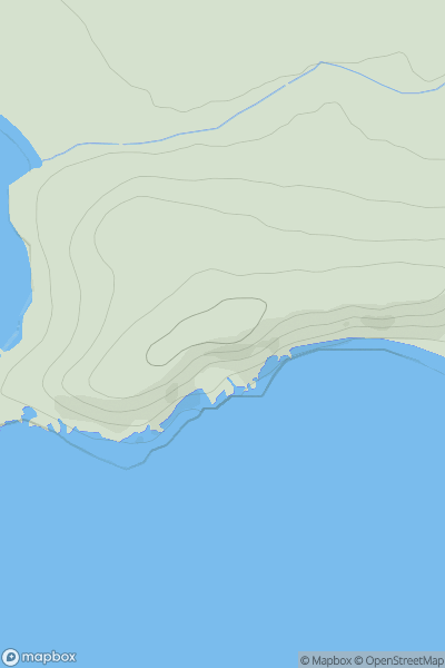
 Central Scotland from Dumbarton to Montrose
 0
0 65.0
65.0User Activity
No recent Activity
0
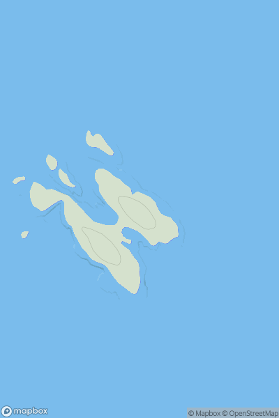
Ascents
Mull and Nearby Islands
0
30.0User Activity
No recent Activity
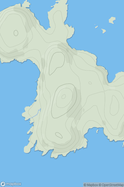
![Thumbnail image for Binnein Mor [Oban to Loch Fyne] showing contour plot for surrounding peak](/static/img/mountains_img_db/11114_Binnein_Mor_[Oban_to_Loch_Fyne].png)
0
Ascents
Oban to Loch Fyne
0
170.0User Activity
No recent Activity
0
Ascents
Lochinver to Ullapool
0
83.0User Activity
No recent Activity
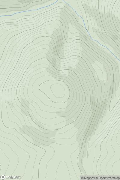
![Thumbnail image for Cnoc Reamhar [Knapdale and Kintyre] [NR749727] showing contour plot for surrounding peak](/static/img/mountains_img_db/11102_Cnoc_Reamhar_[Knapdale_and_Kintyre]_[NR749727].png)
0
Ascents
Knapdale and Kintyre
0
176.0User Activity
No recent Activity
0
Ascents
The Glenkens to Annandale
0
420.0User Activity
No recent Activity