

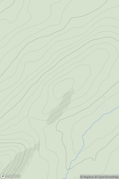
![Thumbnail image for Tom Ard [Oban to Loch Fyne] showing contour plot for surrounding peak](/static/img/mountains_img_db/19602_Tom_Ard_[Oban_to_Loch_Fyne].png)


0
Ascents

 Oban to Loch Fyne
 0
0 124.3
124.3User Activity
No recent Activity
0
Ascents
Glen Affric to Glen Moriston
0
306.0User Activity
No recent Activity
0
Ascents
Shetland Islands
0
88.0User Activity
No recent Activity
0
Ascents
Central Scotland from Dumbarton to Montrose
0
470.9User Activity
No recent Activity
0
Ascents
Altnaharra to Dornoch
0
349.1User Activity
No recent Activity
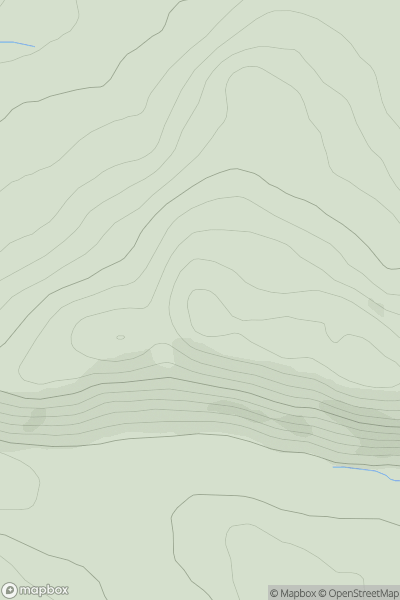
![Thumbnail image for Carn nan Gillean [Jura, Scarba and Colonsay] showing contour plot for surrounding peak](/static/img/mountains_img_db/11396_Carn_nan_Gillean_[Jura,_Scarba_and_Colonsay].png)
0
Ascents
Jura, Scarba and Colonsay
0
286.0User Activity
No recent Activity