

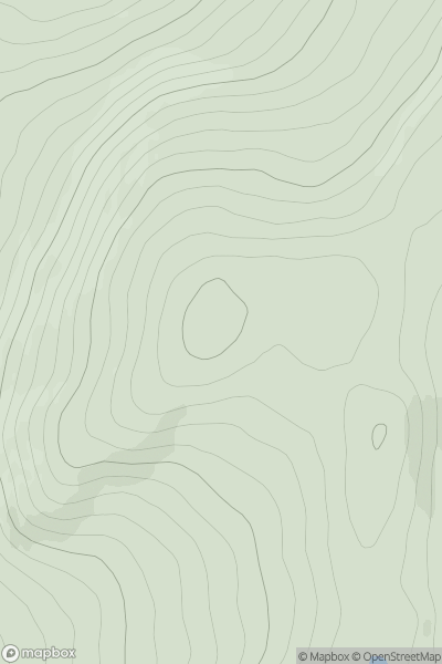
![Thumbnail image for Dunside Rig [Ayr to the River Clyde] showing contour plot for surrounding peak](/static/img/mountains_img_db/13191_Dunside_Rig_[Ayr_to_the_River_Clyde].png)


0
Ascents

 Ayr to the River Clyde
 0
0 399.0
399.0User Activity
No recent Activity
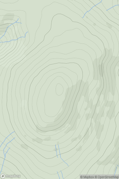
![Thumbnail image for Meall Reamhar [Loch Fyne to Bute and the Firth of Clyde] showing contour plot for surrounding peak](/static/img/mountains_img_db/10732_Meall_Reamhar_[Loch_Fyne_to_Bute_and_the_Firth_of_Clyde].png)
0
Ascents
Loch Fyne to Bute and the Firth of Clyde
0
462.0User Activity
No recent Activity
0
Ascents
Braemar to Montrose
0
609.7User Activity
No recent Activity
0
Ascents
The Glenkens to Annandale
0
697.0User Activity
No recent Activity
0
Ascents
Lochinver to Ullapool
0
168.0User Activity
No recent Activity
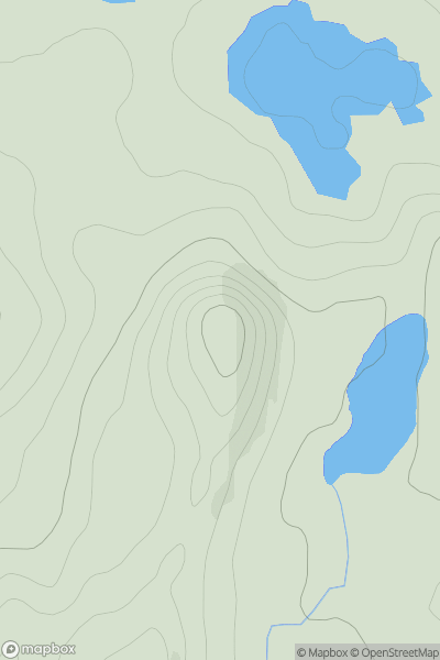
![Thumbnail image for An Suidhe [Oban to Loch Fyne] showing contour plot for surrounding peak](/static/img/mountains_img_db/6938_An_Suidhe_[Oban_to_Loch_Fyne].png)
0
Ascents
Oban to Loch Fyne
0
514.0User Activity
No recent Activity