


0
Ascents

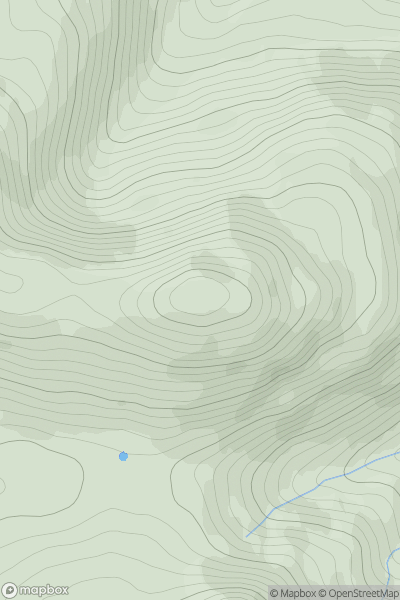
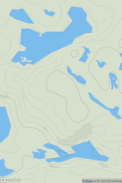
 Islay
Islay
 0
0 429.0
429.0User Activity
No recent Activity
0
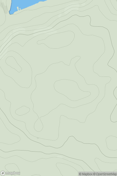
Ascents
Oban to Loch Fyne
0
89.0User Activity
No recent Activity
0
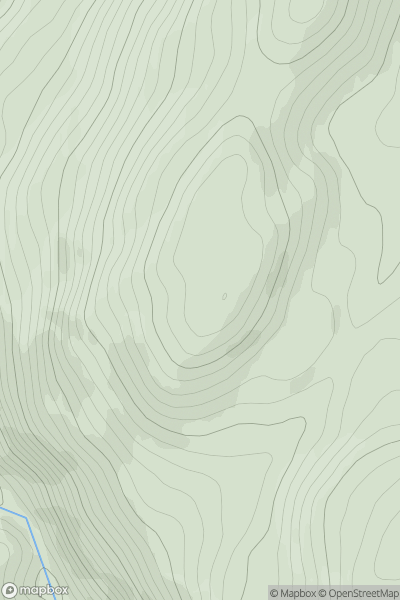
Ascents
Glen Albyn and the Monadh Liath
0
438.0User Activity
No recent Activity
0
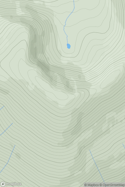
Ascents
Loch Treig to Loch Ericht
0
1103.3User Activity
No recent Activity
0
Ascents
Scourie to Lairg
0
170.0User Activity
No recent Activity
0
Ascents
Firth of Forth to the River Tweed
0
356.0User Activity
No recent Activity