


0
Ascents

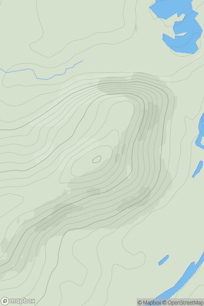
 Glen Albyn and the Monadh Liath
 0
0 358.0
358.0User Activity
No recent Activity
0
Ascents
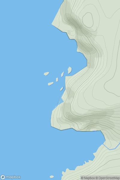
Cape Wrath Peninsula
0
57.0User Activity
No recent Activity
0
Ascents
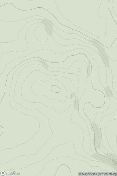
The Glenkens to Annandale
0
212.0User Activity
No recent Activity
0
Ascents
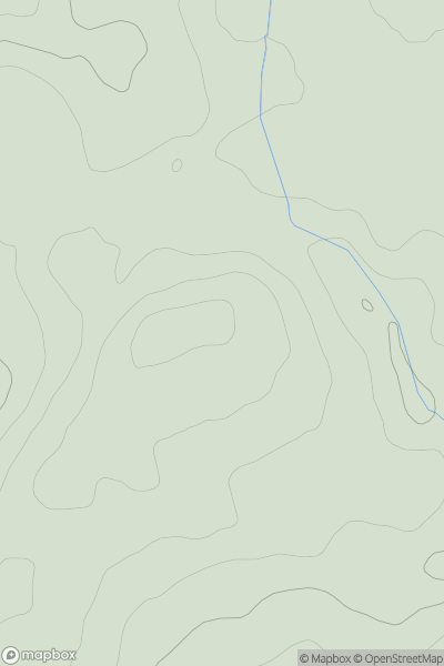
The River Tweed to the English Border
0
241.0User Activity
No recent Activity
![Thumbnail image for Creag a' Mhadaidh [Loch Tay to Perth] showing contour plot for surrounding peak](/static/img/mountains_img_db/4573_Creag_a'_Mhadaidh_[Loch_Tay_to_Perth].png)
0
Ascents
Loch Tay to Perth
0
530.0User Activity
No recent Activity
0
Ascents
Inverness to Strathspey
0
391.0User Activity
No recent Activity