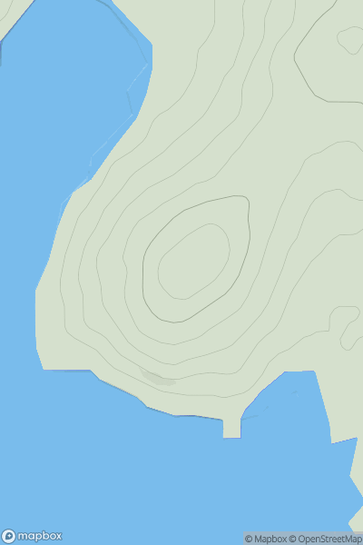
Ariel drone view of mountainous landscape with rolling clouds flowing over peak

Journal your hikes and share your adventures.

Bag peaks across the UK & Ireland, track your progress and see updates from Donder's growing community of hikers.

Donder's profile view available to users after sign-up, shows example user with progress tracking, hiking journal and user leaderboard

Thumbnail image for Mull of Ross showing contour plot for surrounding peak
SCO
Icon of location pin
75m
Icon of vertical, double ended, arrow to symbolise height of mountain

Mull of Ross

Icon of mountain used to symbolise the number of ascents made by users

0
Ascents

Thumbnail image for Creag Inverpolly showing contour plot for surrounding peak
SCO
Icon of location pin
162m
Icon of vertical, double ended, arrow to symbolise height of mountain

Creag Inverpolly

Icon of mountain used to symbolise the number of ascents made by users

0
Ascents

Thumbnail image for Drum Tick showing contour plot for surrounding peak
SCO
Icon of location pin
241m
Icon of vertical, double ended, arrow to symbolise height of mountain

Drum Tick

Icon of mountain used to symbolise the number of ascents made by users

0
Ascents

Thumbnail image for Calpa Mor showing contour plot for surrounding peak
SCO
Icon of location pin
814m
Icon of vertical, double ended, arrow to symbolise height of mountain

Calpa Mor

Icon of mountain used to symbolise the number of ascents made by users

0
Ascents

Thumbnail image for Sgurr Leac nan Each North Top showing contour plot for surrounding peak
SCO
Icon of location pin
842m
Icon of vertical, double ended, arrow to symbolise height of mountain

Sgurr Leac nan Each North Top

Icon of mountain used to symbolise the number of ascents made by users

0
Ascents

Thumbnail image for Kilnair Hill showing contour plot for surrounding peak
SCO
Icon of location pin
328m
Icon of vertical, double ended, arrow to symbolise height of mountain

Kilnair Hill

Icon of mountain used to symbolise the number of ascents made by users

0
Ascents