

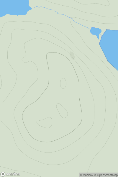
![Thumbnail image for Shaw Hill [The Glenkens to Annandale] showing contour plot for surrounding peak](/static/img/mountains_img_db/13583_Shaw_Hill_[The_Glenkens_to_Annandale].png)


0
Ascents

 The Glenkens to Annandale
 0
0 162.0
162.0User Activity
No recent Activity
0
Ascents
Shetland Islands
0
63.0User Activity
No recent Activity
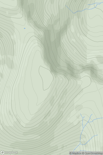
![Thumbnail image for Beinn Dearg North Top [Loch Broom to Strath Oykel] showing contour plot for surrounding peak](/static/img/mountains_img_db/3267_Beinn_Dearg_North_Top_[Loch_Broom_to_Strath_Oykel].png)
0
Ascents
Loch Broom to Strath Oykel
0
883.8User Activity
No recent Activity
![Thumbnail image for Craig Hill [Loch Tay to Perth] showing contour plot for surrounding peak](/static/img/mountains_img_db/5667_Craig_Hill_[Loch_Tay_to_Perth].png)
0
Ascents
Loch Tay to Perth
0
563.0User Activity
No recent Activity
.png)
0
Ascents
North Uist, South Uist and Nearby Islands
0
147.0User Activity
No recent Activity
0
Ascents
North Skye and Raasay
0
608.6User Activity
No recent Activity