


0
Ascents

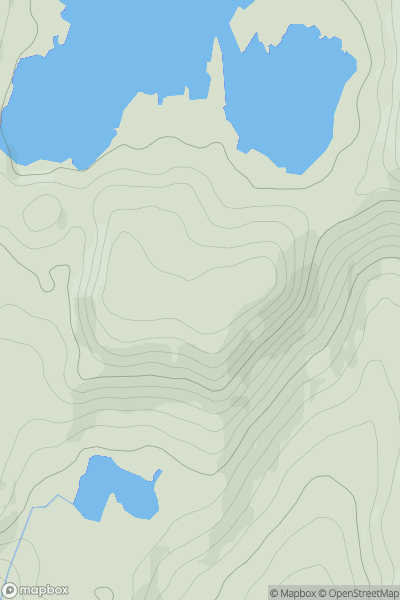
 Carrick and Galloway
 0
0 552.0
552.0User Activity
No recent Activity
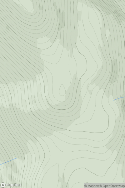
![Thumbnail image for Sgurr Mor [North Skye and Raasay] showing contour plot for surrounding peak](/static/img/mountains_img_db/6847_Sgurr_Mor_[North_Skye_and_Raasay].png)
0
Ascents
North Skye and Raasay
0
494.0User Activity
No recent Activity
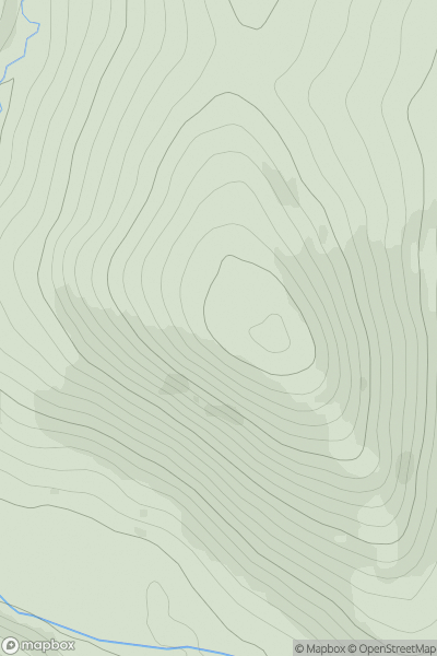
![Thumbnail image for Kirkton Hill [Central Scotland from Dumbarton to Montrose] showing contour plot for surrounding peak](/static/img/mountains_img_db/12914_Kirkton_Hill_[Central_Scotland_from_Dumbarton_to_Montrose].png)
0
Ascents
Central Scotland from Dumbarton to Montrose
0
253.0User Activity
No recent Activity
0
Ascents
Cairngorms
0
1040.0User Activity
No recent Activity
0
Ascents
Braemar to Montrose
0
460.0User Activity
No recent Activity
![Thumbnail image for Craigelwhan [The Glenkens to Annandale] showing contour plot for surrounding peak](/static/img/mountains_img_db/13310_Craigelwhan_[The_Glenkens_to_Annandale].png)
0
Ascents
The Glenkens to Annandale
0
320.0User Activity
No recent Activity