


0
Ascents

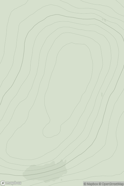
 Orkney Islands
 0
0 153.0
153.0User Activity
No recent Activity
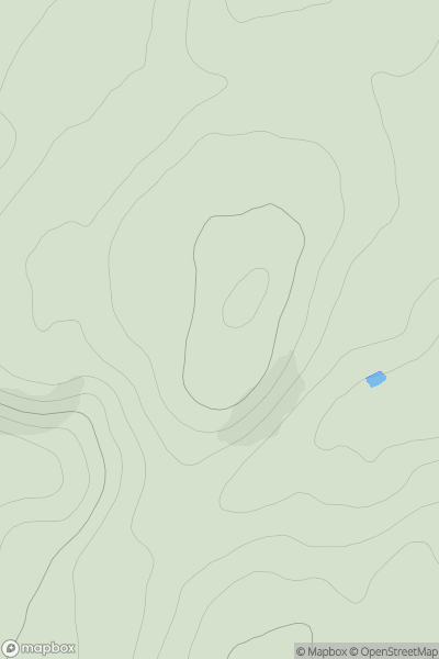
![Thumbnail image for Meall na Sroine [Glen Affric to Glen Moriston] showing contour plot for surrounding peak](/static/img/mountains_img_db/8802_Meall_na_Sroine_[Glen_Affric_to_Glen_Moriston].png)
0
Ascents
Glen Affric to Glen Moriston
0
411.0User Activity
No recent Activity
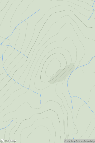
![Thumbnail image for Sgurr na h-Aide [Knoydart to Glen Kingie] showing contour plot for surrounding peak](/static/img/mountains_img_db/8694_Sgurr_na_h-Aide_[Knoydart_to_Glen_Kingie].png)
0
Ascents
Knoydart to Glen Kingie
0
341.0User Activity
No recent Activity
0
Ascents
Killilan to Inverness
0
370.0User Activity
No recent Activity
0
Ascents
Knapdale and Kintyre
0
322.0User Activity
No recent Activity
![Thumbnail image for Little Hill [Fraserburgh to the Dee Valley] showing contour plot for surrounding peak](/static/img/mountains_img_db/11669_Little_Hill_[Fraserburgh_to_the_Dee_Valley].png)
0
Ascents
Fraserburgh to the Dee Valley
0
266.0User Activity
No recent Activity