


0
Ascents

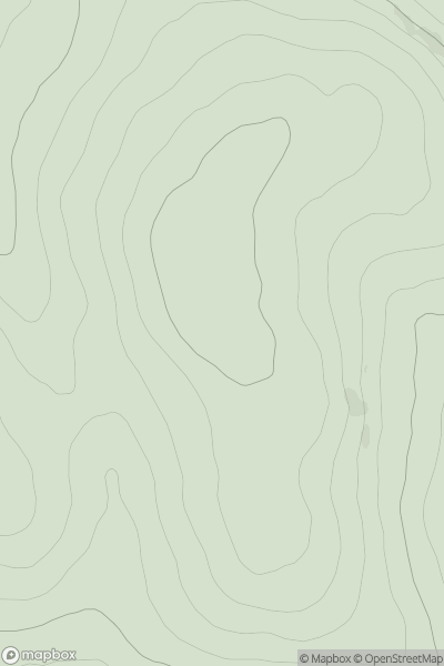
 The Glenkens to Annandale
 0
0 512.0
512.0User Activity
No recent Activity
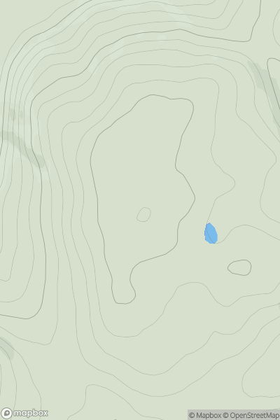
![Thumbnail image for Craggan Hill [Loch Long to Loch Lomond] showing contour plot for surrounding peak](/static/img/mountains_img_db/4588_Craggan_Hill_[Loch_Long_to_Loch_Lomond].png)
0
Ascents
Loch Long to Loch Lomond
0
292.0User Activity
No recent Activity
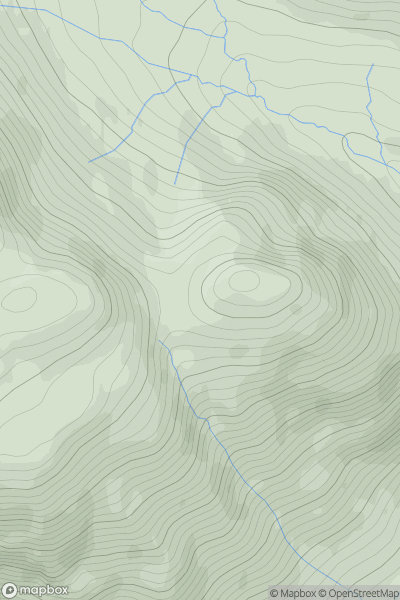
![Thumbnail image for Torr an t-Sagairt [Glen Albyn and the Monadh Liath] showing contour plot for surrounding peak](/static/img/mountains_img_db/8614_Torr_an_t-Sagairt_[Glen_Albyn_and_the_Monadh_Liath].png)
0
Ascents
Glen Albyn and the Monadh Liath
0
251.0User Activity
No recent Activity
0
Ascents
Central Scotland from Dumbarton to Montrose
0
216.0User Activity
No recent Activity
![Thumbnail image for Beinn Bheag [Lewis and Nearby Islands] [NB213447] showing contour plot for surrounding peak](/static/img/mountains_img_db/12504_Beinn_Bheag_[Lewis_and_Nearby_Islands]_[NB213447].png)
0
Ascents
Lewis and Nearby Islands
0
99.3User Activity
No recent Activity
0
Ascents
Glen Shiel to Loch Hourn and Loch Quoich
0
540.0User Activity
No recent Activity