


0
Ascents

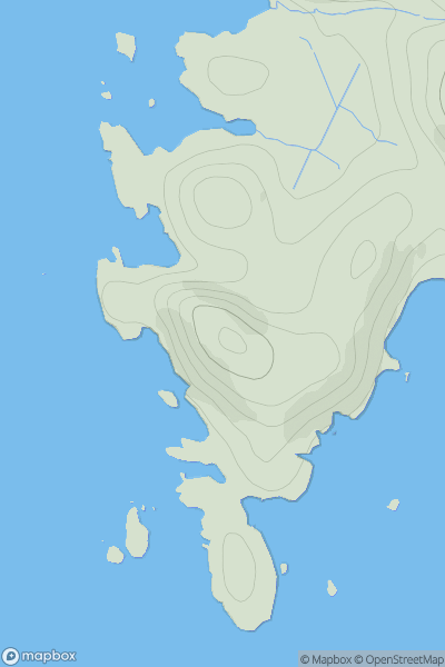
 South-East Skye and Scalpay
 0
0 74.0
74.0User Activity
No recent Activity
0
Ascents
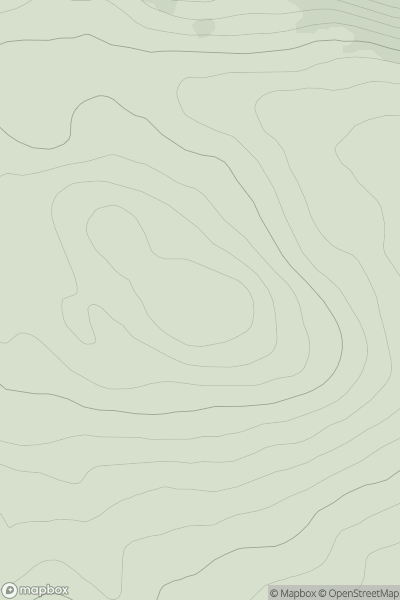
Scourie to Lairg
0
394.0User Activity
No recent Activity
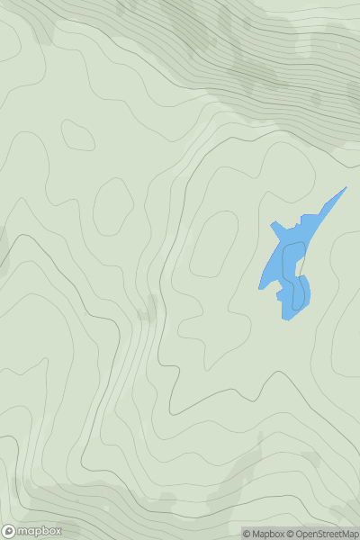
![Thumbnail image for Creag Liath [Scourie to Lairg] showing contour plot for surrounding peak](/static/img/mountains_img_db/9961_Creag_Liath_[Scourie_to_Lairg].png)
0
Ascents
Scourie to Lairg
0
103.0User Activity
No recent Activity
0
Ascents
Mallaig to Fort William
0
332.0User Activity
No recent Activity
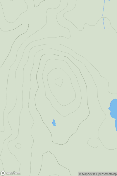
![Thumbnail image for Meall Reamhar [Pitlochry to Braemar & Blairgowrie] [NO033568] showing contour plot for surrounding peak](/static/img/mountains_img_db/6036_Meall_Reamhar_[Pitlochry_to_Braemar_&_Blairgowrie]_[NO033568].png)
0
Ascents
Pitlochry to Braemar & Blairgowrie
0
535.0User Activity
No recent Activity
0
Ascents
The Glenkens to Annandale
0
139.0User Activity
No recent Activity