


0
Ascents

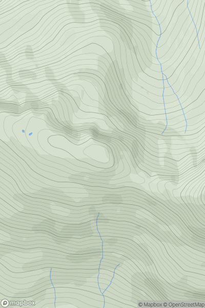
 Knoydart to Glen Kingie
 0
0 826.0
826.0User Activity
No recent Activity
0
Ascents
Firth of Forth to the River Tweed
0
326.0User Activity
No recent Activity
0
Ascents
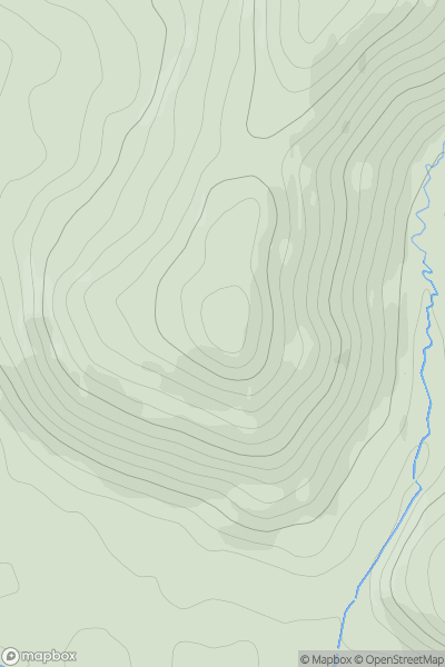
Loch Arkaig to Glen Moriston
0
595.0User Activity
No recent Activity
![Thumbnail image for Creag Liath [North Skye and Raasay] showing contour plot for surrounding peak](/static/img/mountains_img_db/10329_Creag_Liath_[North_Skye_and_Raasay].png)
0
Ascents
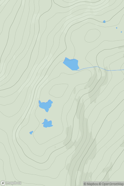
North Skye and Raasay
0
174.0User Activity
No recent Activity
![Thumbnail image for Cnoc Mor [Tongue to Wick and Helmsdale] showing contour plot for surrounding peak](/static/img/mountains_img_db/9694_Cnoc_Mor_[Tongue_to_Wick_and_Helmsdale].png)
0
Ascents
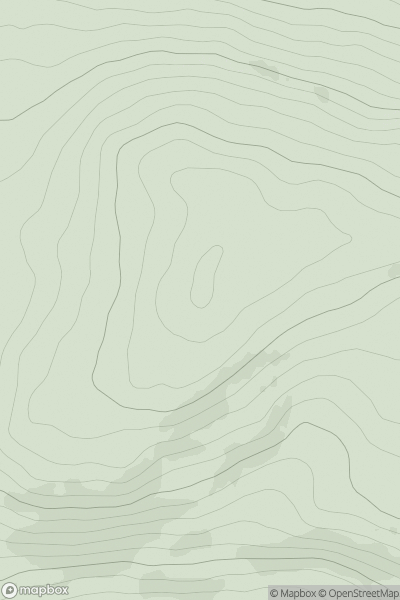
Tongue to Wick and Helmsdale
0
197.0User Activity
No recent Activity
0
Ascents
The Glenkens to Annandale
0
288.0User Activity
No recent Activity