


0
Ascents

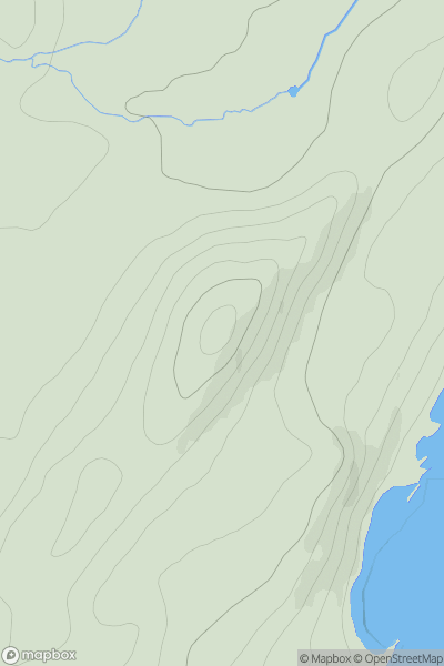
 Jura, Scarba and Colonsay
 0
0 126.0
126.0User Activity
No recent Activity
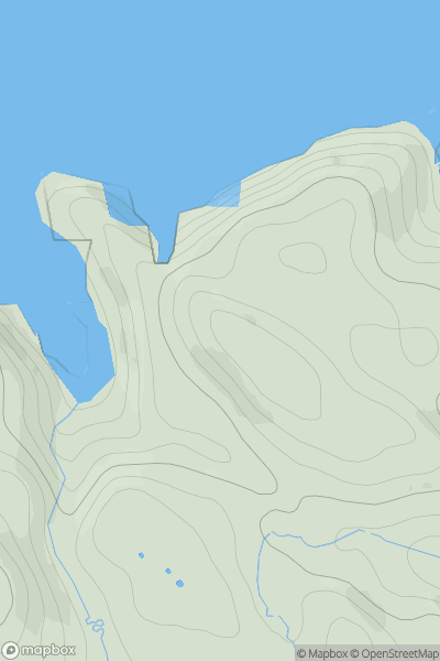
![Thumbnail image for Castle Hill [The Glenkens to Annandale] [NX827540] showing contour plot for surrounding peak](/static/img/mountains_img_db/13693_Castle_Hill_[The_Glenkens_to_Annandale]_[NX827540].png)
0
Ascents
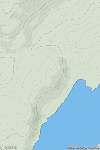
The Glenkens to Annandale
0
101.0User Activity
No recent Activity
0
Ascents
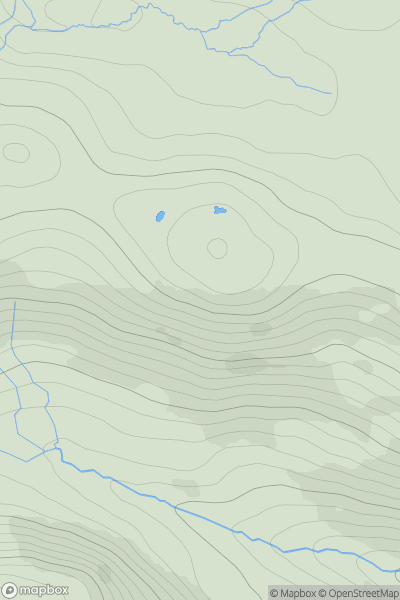
Oban to Loch Fyne
0
95.0User Activity
No recent Activity
0
Ascents
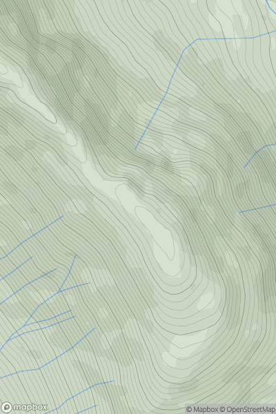
Morvern and Kingairloch
0
389.0User Activity
No recent Activity
0
Ascents
Loch Linnhe to Loch Etive
0
847.0User Activity
No recent Activity
0
Ascents
Tongue to Wick and Helmsdale
0
96.0User Activity
No recent Activity