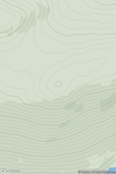
Ariel drone view of mountainous landscape with rolling clouds flowing over peak

Journal your hikes and share your adventures.

Bag peaks across the UK & Ireland, track your progress and see updates from Donder's growing community of hikers.

Donder's profile view available to users after sign-up, shows example user with progress tracking, hiking journal and user leaderboard

Thumbnail image for Meall Mor [Inverness to Strathspey] [NH737355] showing contour plot for surrounding peak
SCO
Icon of location pin
492m
Icon of vertical, double ended, arrow to symbolise height of mountain

Meall Mor [Inverness to Strathspey] [NH737355]

Icon of mountain used to symbolise the number of ascents made by users

0
Ascents

Thumbnail image for Maoile Choill-mhias showing contour plot for surrounding peak
SCO
Icon of location pin
505m
Icon of vertical, double ended, arrow to symbolise height of mountain

Maoile Choill-mhias

Icon of mountain used to symbolise the number of ascents made by users

0
Ascents

Thumbnail image for Creag nan Ceardach showing contour plot for surrounding peak
SCO
Icon of location pin
206m
Icon of vertical, double ended, arrow to symbolise height of mountain

Creag nan Ceardach

Icon of mountain used to symbolise the number of ascents made by users

0
Ascents

Thumbnail image for Sranndabhal showing contour plot for surrounding peak
SCO
Icon of location pin
211m
Icon of vertical, double ended, arrow to symbolise height of mountain

Sranndabhal

Icon of mountain used to symbolise the number of ascents made by users

0
Ascents

Thumbnail image for Meall a' Mhuthaich showing contour plot for surrounding peak
SCO
Icon of location pin
357m
Icon of vertical, double ended, arrow to symbolise height of mountain

Meall a' Mhuthaich

Icon of mountain used to symbolise the number of ascents made by users

0
Ascents

Thumbnail image for Inchmulloch Hill showing contour plot for surrounding peak
SCO
Icon of location pin
122m
Icon of vertical, double ended, arrow to symbolise height of mountain

Inchmulloch Hill

Icon of mountain used to symbolise the number of ascents made by users

0
Ascents