


0
Ascents

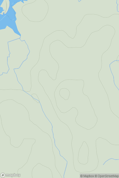
 Coll and Tiree
 0
0 50.0
50.0User Activity
No recent Activity
0
Ascents
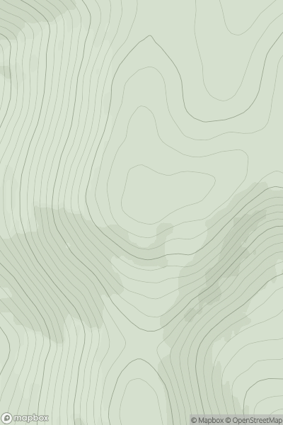
Braemar to Montrose
0
541.0User Activity
No recent Activity
0
Ascents
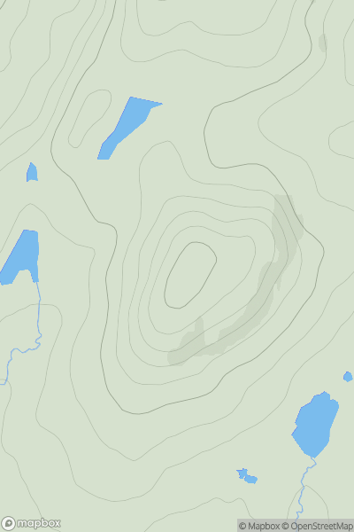
Loch Maree to Loch Broom
0
510.0User Activity
No recent Activity
0
Ascents
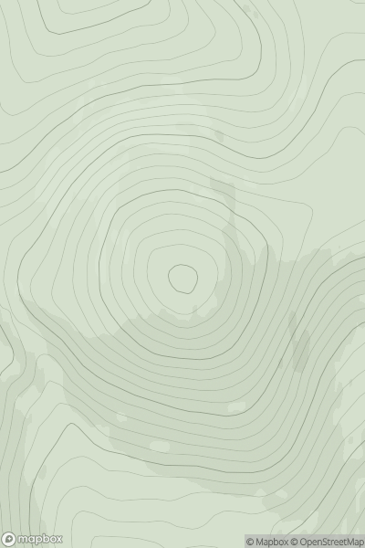
Braemar to Montrose
0
507.0User Activity
No recent Activity
0
Ascents
Firth of Forth to the River Tweed
0
373.0User Activity
No recent Activity
0
Ascents
Tongue to Wick and Helmsdale
0
232.0User Activity
No recent Activity