

.png)


0
Ascents

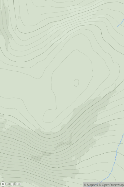
 County Armagh
 0
0 241.0
241.0User Activity
No recent Activity
0
Ascents
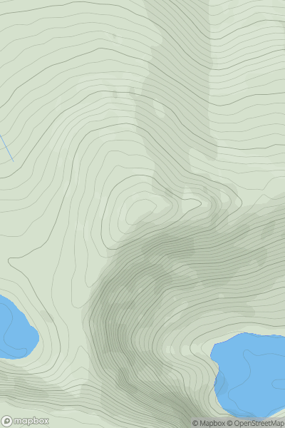
Derryveagh, Glendowan
0
494.0User Activity
No recent Activity
.png)
0
Ascents
Knockmealdown, Comeragh and Monavullagh Mountains
0
518.0User Activity
No recent Activity
0
Ascents
Shehy Mountains
0
782.0User Activity
No recent Activity
.png)
0
Ascents
Dingle Peninsula - E of Dingle
0
447.6User Activity
No recent Activity
.png)
0
Ascents
Derryveagh, Glendowan
0
363.0User Activity
No recent Activity