

.png)


0
Ascents

 Wicklow Hills S
 0
0 563.0
563.0User Activity
No recent Activity
.png)
0
Ascents
Waterford, Kilkenny, Carlow
0
444.0User Activity
No recent Activity
.png)
0
Ascents
Maumturk Mountains
0
560.0User Activity
No recent Activity
.png)
0
Ascents
Sperrin Mountains
0
568.0User Activity
No recent Activity
0
Ascents
Sligo and N Roscommon
0
217.0User Activity
No recent Activity
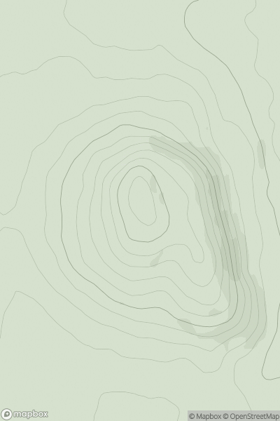
![Thumbnail image for Castle Hill [Dingle Peninsula - E of Dingle] showing contour plot for surrounding peak](/static/img/mountains_img_db/20451_Castle_Hill_[Dingle_Peninsula_-_E_of_Dingle].png)
0
Ascents
Dingle Peninsula - E of Dingle
0
600.0User Activity
No recent Activity