

.png)


0
Ascents

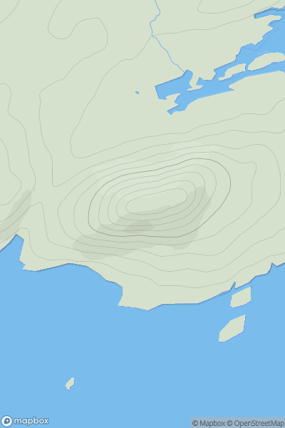
 Limerick to Killarney
 0
0 405.0
405.0User Activity
No recent Activity
).png)
0
Ascents
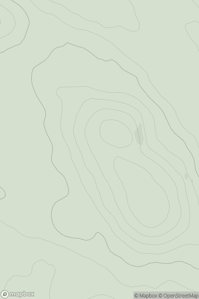
Macgillycuddy's Reeks
0
847.0User Activity
No recent Activity
0
Ascents
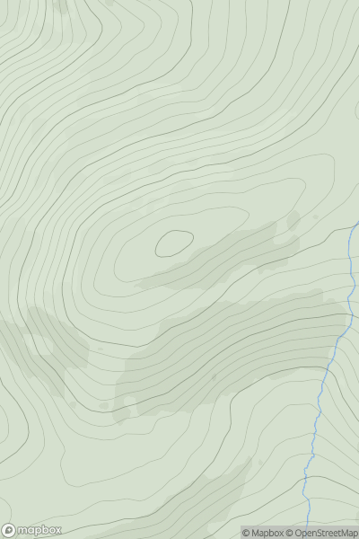
Iveragh Peninsula S
0
117.0User Activity
No recent Activity
.png)
0
Ascents
Derryveagh, Glendowan
0
363.0User Activity
No recent Activity
0
Ascents
Londonderry and N Tyrone
0
201.0User Activity
No recent Activity
0
Ascents
South Cork
0
509.0User Activity
No recent Activity