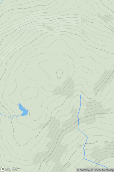
Ariel drone view of mountainous landscape with rolling clouds flowing over peak

Journal your hikes and share your adventures.

Bag peaks across the UK & Ireland, track your progress and see updates from Donder's growing community of hikers.

Donder's profile view available to users after sign-up, shows example user with progress tracking, hiking journal and user leaderboard

Thumbnail image for Barraboy Mountain Far E Top showing contour plot for surrounding peak
IRE
Icon of location pin
456m
Icon of vertical, double ended, arrow to symbolise height of mountain

Barraboy Mountain Far E Top

Icon of mountain used to symbolise the number of ascents made by users

0
Ascents

Thumbnail image for Laghtshanaquilla North East Top (Leacht Sheanchoille barr soir o thuaidh) showing contour plot for surrounding peak
IRE
Icon of location pin
598m
Icon of vertical, double ended, arrow to symbolise height of mountain

Laghtshanaquilla North East Top (Leacht Sheanchoille barr soir o thuaidh)

Icon of mountain used to symbolise the number of ascents made by users

0
Ascents

Thumbnail image for An Bheann Mhor showing contour plot for surrounding peak
IRE
Icon of location pin
675m
Icon of vertical, double ended, arrow to symbolise height of mountain

An Bheann Mhor

Icon of mountain used to symbolise the number of ascents made by users

0
Ascents

Thumbnail image for Beann Dhearg (Beendarrig) showing contour plot for surrounding peak
IRE
Icon of location pin
450m
Icon of vertical, double ended, arrow to symbolise height of mountain

Beann Dhearg (Beendarrig)

Icon of mountain used to symbolise the number of ascents made by users

0
Ascents

Thumbnail image for Beenoskee (Binn os Gaoith) showing contour plot for surrounding peak
IRE
Icon of location pin
826m
Icon of vertical, double ended, arrow to symbolise height of mountain

Beenoskee (Binn os Gaoith)

Icon of mountain used to symbolise the number of ascents made by users

0
Ascents

Thumbnail image for Carrigroe (An Charraig Rua) showing contour plot for surrounding peak
IRE
Icon of location pin
495m
Icon of vertical, double ended, arrow to symbolise height of mountain

Carrigroe (An Charraig Rua)

Icon of mountain used to symbolise the number of ascents made by users

0
Ascents