

_(Toircshliabh).png)


0
Ascents

 Nephin Beg Range
 0
0 401.0
401.0User Activity
No recent Activity
0
Ascents
Macgillycuddy's Reeks
0
568.0User Activity
No recent Activity
.png)
0
Ascents
Wicklow Hills S
0
734.0User Activity
No recent Activity
.png)
0
Ascents
Knockmealdown, Comeragh and Monavullagh Mountains
0
301.0User Activity
No recent Activity
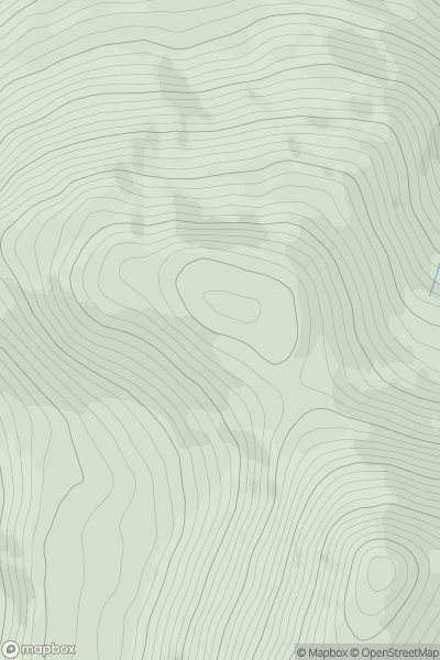
![Thumbnail image for Mount Eagle [Nephin Beg Range] showing contour plot for surrounding peak](/static/img/mountains_img_db/21213_Mount_Eagle_[Nephin_Beg_Range].png)
0
Ascents
Nephin Beg Range
0
427.0User Activity
No recent Activity
0
Ascents
Nephin Beg Range
0
220.0User Activity
No recent Activity