

.png)


0
Ascents

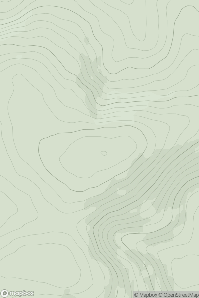
 Sperrin Mountains
 0
0 625.0
625.0User Activity
No recent Activity
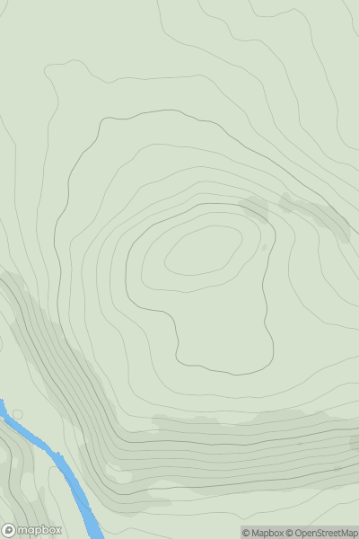
_(Cnoc_Achadh_Liag).png)
0
Ascents
North Mayo
0
237.0User Activity
No recent Activity
.png)
0
Ascents
Galty Mountains
0
436.8User Activity
No recent Activity
0
Ascents
County Tipperary
0
423.0User Activity
No recent Activity
0
Ascents
North Cork
0
164.0User Activity
No recent Activity
.png)
0
Ascents
Blue Stack Mountains
0
597.0User Activity
No recent Activity