

.png)


0
Ascents

 County Tipperary
 0
0 440.0
440.0User Activity
No recent Activity
.png)
0
Ascents
County Clare
0
240.0User Activity
No recent Activity
.png)
0
Ascents
Antrim Mountains
0
418.0User Activity
No recent Activity
_(An_Meall_Dubh_barr_thiar_thuaidh).png)
0
Ascents
Maumturk Mountains
0
578.0User Activity
No recent Activity
0
Ascents
South Mayo and Central Galway
0
526.0User Activity
No recent Activity
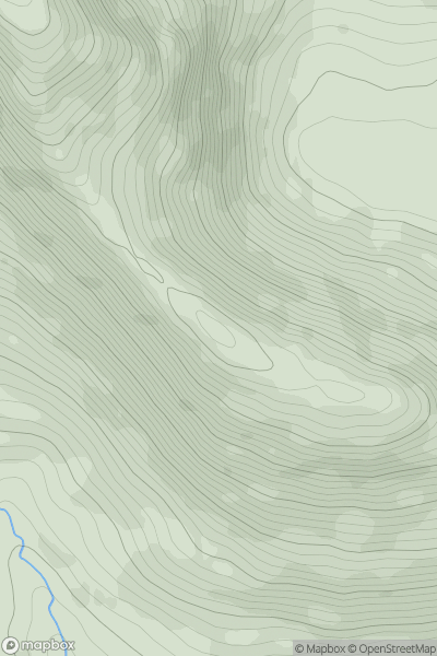
![Thumbnail image for Carrigeen Hill [Wicklow Hills S] showing contour plot for surrounding peak](/static/img/mountains_img_db/20757_Carrigeen_Hill_[Wicklow_Hills_S].png)
0
Ascents
Wicklow Hills S
0
298.0User Activity
No recent Activity