

_(Knockullane_East_Top).png)


0
Ascents

 North Cork
 0
0 408.0
408.0User Activity
No recent Activity
_(Tulaigh_Bhreac).png)
0
Ascents
Londonderry and N Tyrone
0
386.0User Activity
No recent Activity
.png)
0
Ascents
The Twelve Bens
0
442.0User Activity
No recent Activity
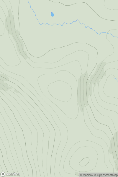
![Thumbnail image for Ring Hill [County Tipperary] showing contour plot for surrounding peak](/static/img/mountains_img_db/20654_Ring_Hill_[County_Tipperary].png)
0
Ascents
County Tipperary
0
426.0User Activity
No recent Activity
0
Ascents
Wicklow Hills N
0
549.5User Activity
No recent Activity
.png)
0
Ascents
Blue Stack Mountains
0
364.0User Activity
No recent Activity