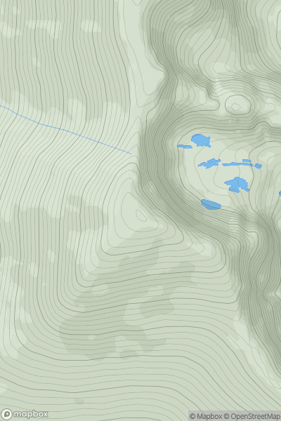
Ariel drone view of mountainous landscape with rolling clouds flowing over peak

Journal your hikes and share your adventures.

Bag peaks across the UK & Ireland, track your progress and see updates from Donder's growing community of hikers.

Donder's profile view available to users after sign-up, shows example user with progress tracking, hiking journal and user leaderboard

Thumbnail image for Brandon Mountain showing contour plot for surrounding peak
IRE
Icon of location pin
952m
Icon of vertical, double ended, arrow to symbolise height of mountain

Brandon Mountain

Icon of mountain used to symbolise the number of ascents made by users

0
Ascents

Thumbnail image for Slimero showing contour plot for surrounding peak
IRE
Icon of location pin
289m
Icon of vertical, double ended, arrow to symbolise height of mountain

Slimero

Icon of mountain used to symbolise the number of ascents made by users

0
Ascents

Thumbnail image for Droppa showing contour plot for surrounding peak
IRE
Icon of location pin
522m
Icon of vertical, double ended, arrow to symbolise height of mountain

Droppa

Icon of mountain used to symbolise the number of ascents made by users

0
Ascents

Thumbnail image for Keelogyboy Mtn SW Top showing contour plot for surrounding peak
IRE
Icon of location pin
417m
Icon of vertical, double ended, arrow to symbolise height of mountain

Keelogyboy Mtn SW Top

Icon of mountain used to symbolise the number of ascents made by users

0
Ascents

Thumbnail image for Carranarah showing contour plot for surrounding peak
IRE
Icon of location pin
197m
Icon of vertical, double ended, arrow to symbolise height of mountain

Carranarah

Icon of mountain used to symbolise the number of ascents made by users

0
Ascents

Thumbnail image for Na Cnamha (The Bones Peak) showing contour plot for surrounding peak
IRE
Icon of location pin
957m
Icon of vertical, double ended, arrow to symbolise height of mountain

Na Cnamha (The Bones Peak)

Icon of mountain used to symbolise the number of ascents made by users

0
Ascents