

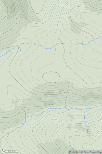
![Thumbnail image for Penhale Hill [South West England] [SW917572] showing contour plot for surrounding peak](/static/img/mountains_img_db/19254_Penhale_Hill_[South_West_England]_[SW917572].png)


0
Ascents

 South West England
 0
0 226.0
226.0User Activity
No recent Activity
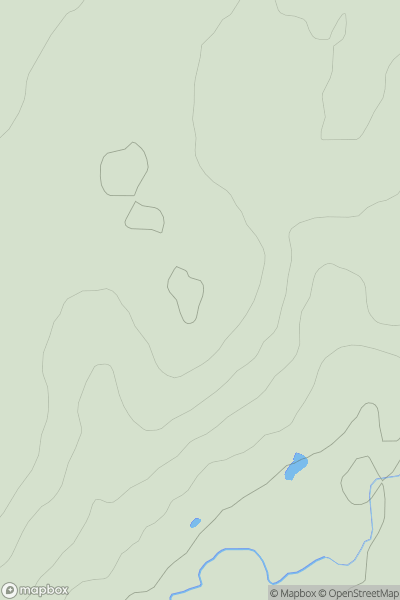
![Thumbnail image for Yarlside [Lake District S] showing contour plot for surrounding peak](/static/img/mountains_img_db/19027_Yarlside_[Lake_District_S].png)
0
Ascents
Lake District S
0
94.0User Activity
No recent Activity
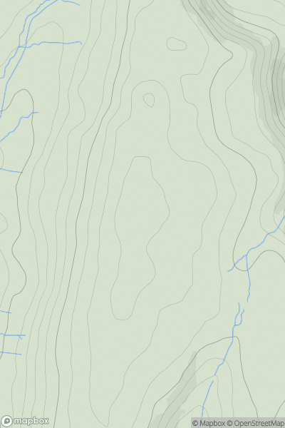
![Thumbnail image for Conegar Hill [South Central England] [SY379954] showing contour plot for surrounding peak](/static/img/mountains_img_db/18213_Conegar_Hill_[South_Central_England]_[SY379954].png)
0
Ascents
South Central England
0
141.0User Activity
No recent Activity
0
Ascents
Lake District C&W
0
365.0User Activity
No recent Activity
0
Ascents
Lake District C&W
0
102.6User Activity
No recent Activity
0
Ascents
Welsh Borders S
0
228.0User Activity
No recent Activity