


0
Ascents

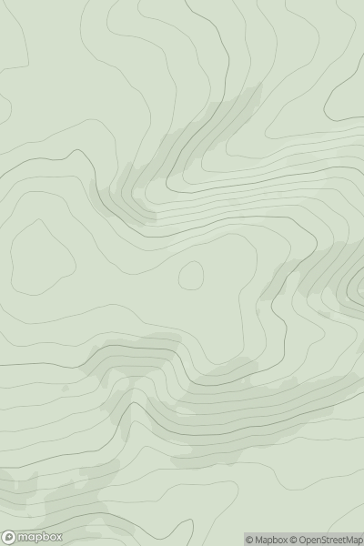
 Welsh Borders S
 0
0 286.1
286.1User Activity
No recent Activity
0
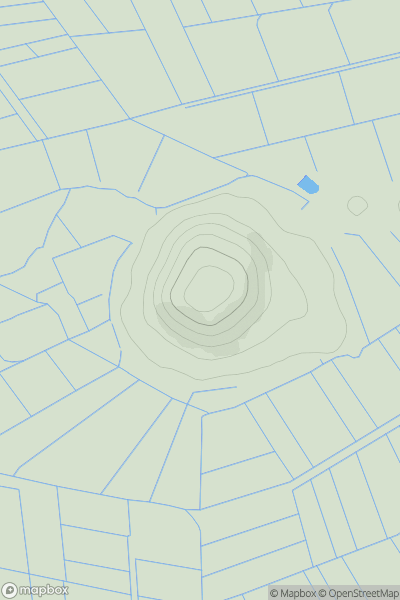
Ascents
South Central England
0
76.0User Activity
No recent Activity
0
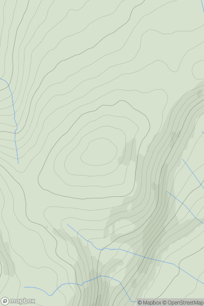
Ascents
Lake District E
0
437.0User Activity
No recent Activity
0
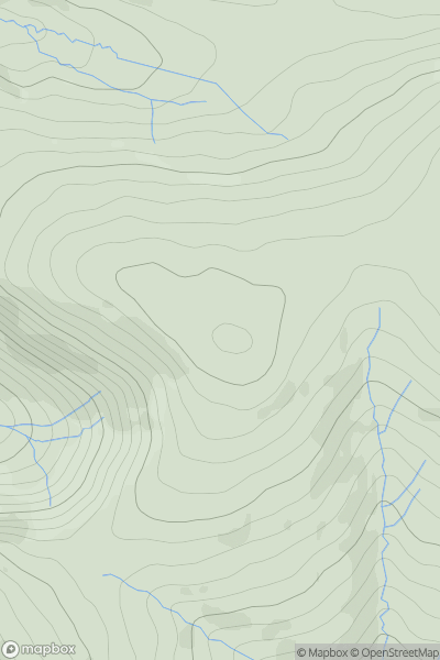
Ascents
Lake District C&W
0
511.0User Activity
No recent Activity
0
Ascents
South West England
0
128.0User Activity
No recent Activity
0
Ascents
Lake District S
0
478.1User Activity
No recent Activity