


0
Ascents

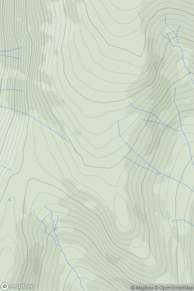
 Lake District E
 0
0 622.0
622.0User Activity
No recent Activity
0
Ascents
Central and Eastern England
0
52.0User Activity
No recent Activity
0
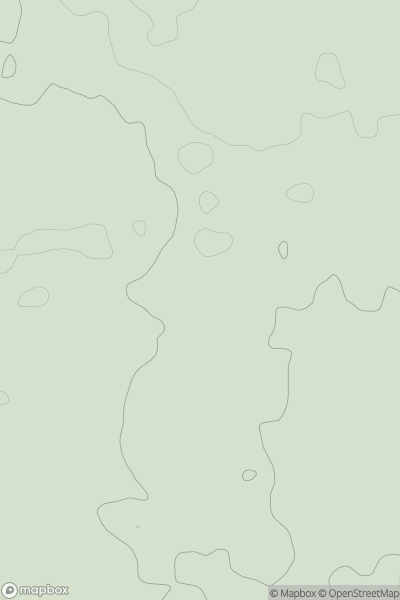
Ascents
Lake District S
0
197.0User Activity
No recent Activity
0
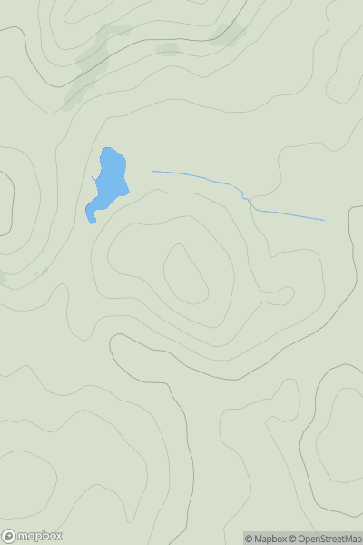
Ascents
Northumberland
0
380.0User Activity
No recent Activity
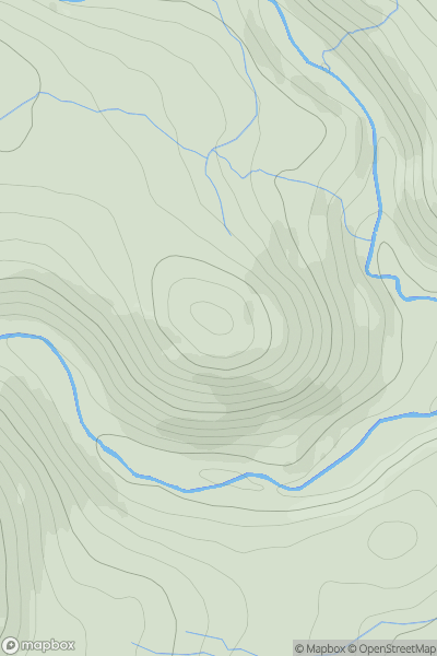
![Thumbnail image for Telegraph Hill [South East England] [SU870264] showing contour plot for surrounding peak](/static/img/mountains_img_db/5446_Telegraph_Hill_[South_East_England]_[SU870264].png)
0
Ascents
South East England
0
207.0User Activity
No recent Activity
0
Ascents
Lake District C&W
0
165.0User Activity
No recent Activity