


0
Ascents

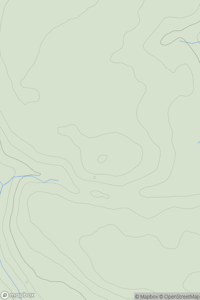
 North Pennines
 0
0 392.0
392.0User Activity
No recent Activity
0
Ascents
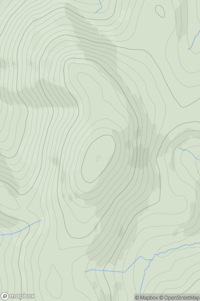
Northumberland
0
414.0User Activity
No recent Activity
0
Ascents
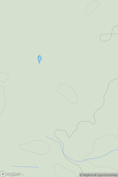
Central and Eastern England
0
107.0User Activity
No recent Activity
0
Ascents
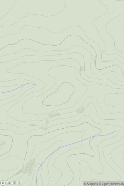
South West England
0
209.0User Activity
No recent Activity
0
Ascents
Lake District S
0
303.0User Activity
No recent Activity

0
Ascents
The River Tees to The Wash
0
88.0User Activity
No recent Activity