


0
Ascents

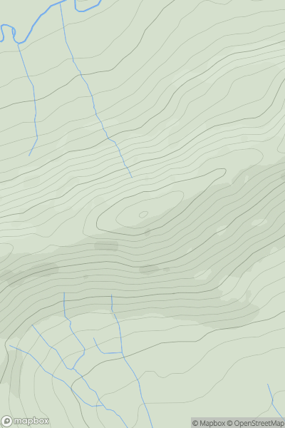
 Lake District S
 0
0 104.0
104.0User Activity
No recent Activity
0
Ascents
Lake District S
0
292.0User Activity
No recent Activity
0
Ascents
South West England
0
350.0User Activity
No recent Activity
0
Ascents
Welsh Borders S
0
185.0User Activity
No recent Activity
0
Ascents
Lancashire, Cheshire and S Pennines
0
426.0User Activity
No recent Activity
0
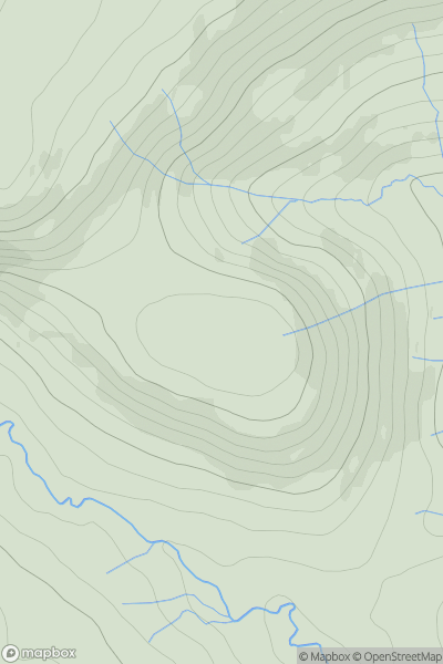
Ascents
Lake District E
0
518.0User Activity
No recent Activity