


0
Ascents

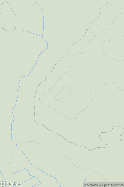
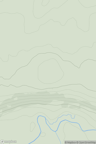
 Lancashire, Cheshire and S Pennines
 0
0 123.8
123.8User Activity
No recent Activity
0
Ascents
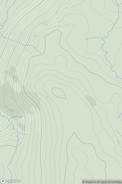
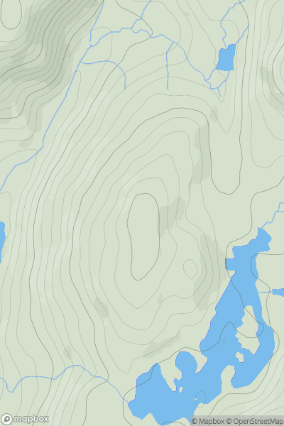
Lake District E
0
509.0User Activity
No recent Activity
0
Ascents
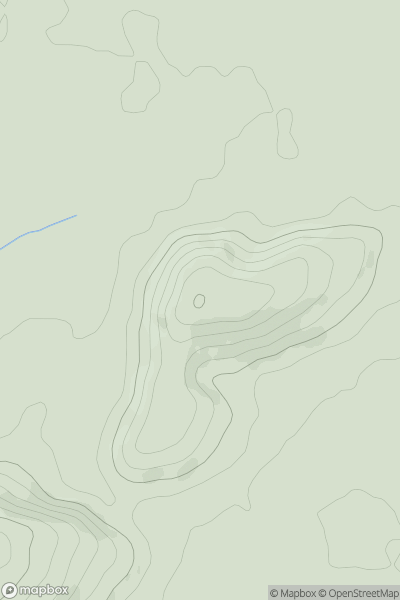
South East England
0
156.0User Activity
No recent Activity
0
Ascents
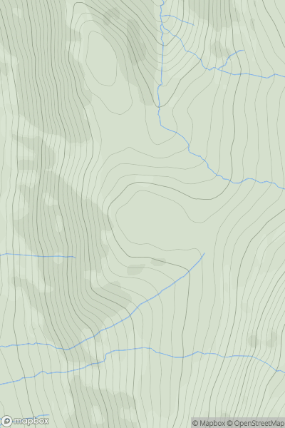
Lake District E
0
471.0User Activity
No recent Activity
0
Ascents
North Pennines
0
318.0User Activity
No recent Activity
0
Ascents
Lake District S
0
269.0User Activity
No recent Activity