


0
Ascents

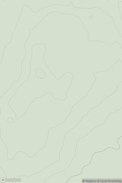
 Lancashire, Cheshire and S Pennines
 0
0 91.0
91.0User Activity
No recent Activity
0
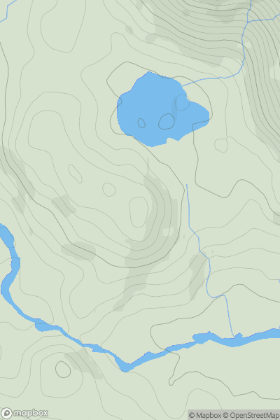
Ascents
Lake District C&W
0
155.0User Activity
No recent Activity
0
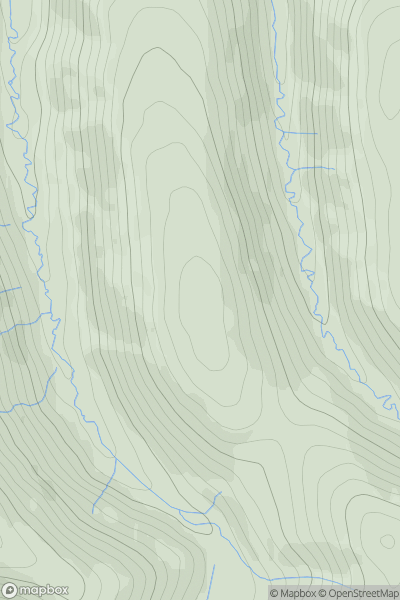
Ascents
North Pennines
0
499.6User Activity
No recent Activity
0
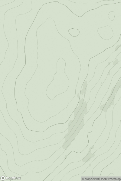
Ascents
Lake District S
0
275.0User Activity
No recent Activity
0
Ascents
South West England
0
61.0User Activity
No recent Activity
0
Ascents
The River Tees to The Wash
0
95.0User Activity
No recent Activity