


0
Ascents

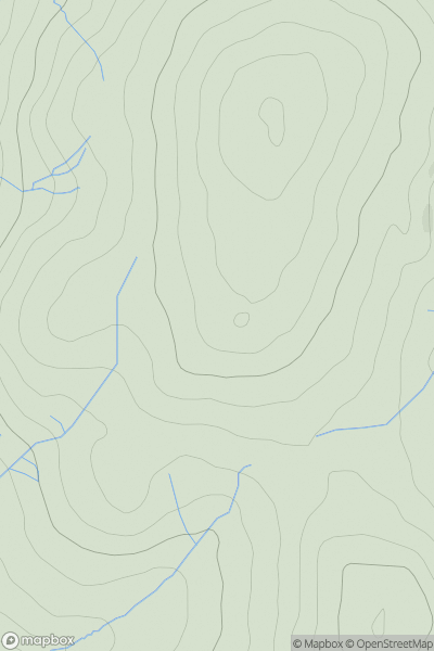
 Lancashire, Cheshire and S Pennines
 0
0 503.0
503.0User Activity
No recent Activity
0
Ascents
South West England
0
243.8User Activity
No recent Activity
0
Ascents
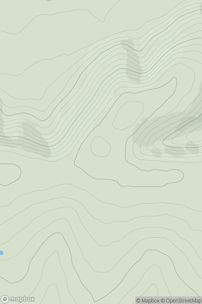
Lake District E
0
493.0User Activity
No recent Activity
0
Ascents
Lancashire, Cheshire and S Pennines
0
123.0User Activity
No recent Activity
0
Ascents
Lake District C&W
0
322.0User Activity
No recent Activity
0
Ascents
South East England
0
216.5User Activity
No recent Activity