


0
Ascents

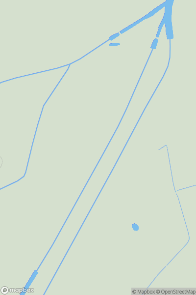
 The River Tees to The Wash
 0
0 8.0
8.0User Activity
No recent Activity
0
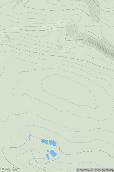
Ascents
Lancashire, Cheshire and S Pennines
0
449.0User Activity
No recent Activity
0
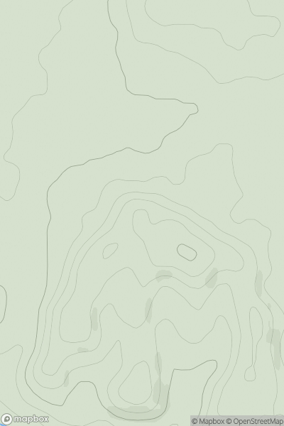
Ascents
Welsh Borders S
0
91.7User Activity
No recent Activity
0
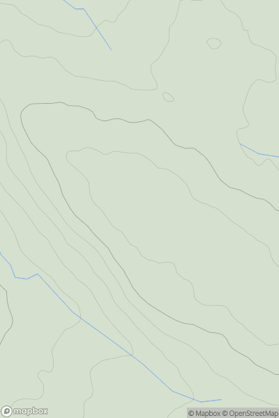
Ascents
Lancashire, Cheshire and S Pennines
0
371.0User Activity
No recent Activity
0
Ascents
Central Pennines
0
292.0User Activity
No recent Activity
0
Ascents
South West England
0
128.0User Activity
No recent Activity