


0
Ascents

 Lake District C&W
 0
0 656.0
656.0User Activity
No recent Activity
0
Ascents
South East England
0
168.0User Activity
No recent Activity
0
Ascents
South West England
0
41.0User Activity
No recent Activity
0
Ascents
South West England
0
116.0User Activity
No recent Activity
0
Ascents
South East England
0
82.0User Activity
No recent Activity
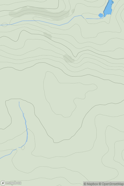
![Thumbnail image for Shipton Hill [Shropshire] showing contour plot for surrounding peak](/static/img/mountains_img_db/19469_Shipton_Hill_[Shropshire].png)
0
Ascents
Shropshire
0
273.8User Activity
No recent Activity