


0
Ascents

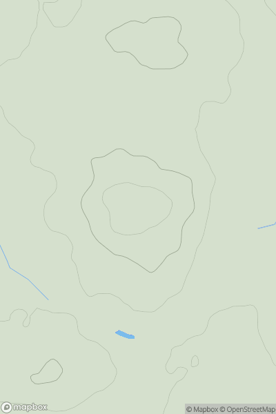
 South West England
 0
0 169.0
169.0User Activity
No recent Activity
![Thumbnail image for Knowle Hill [South West England] [SY209947] showing contour plot for surrounding peak](/static/img/mountains_img_db/18266_Knowle_Hill_[South_West_England]_[SY209947].png)
0
Ascents
South West England
0
114.0User Activity
No recent Activity
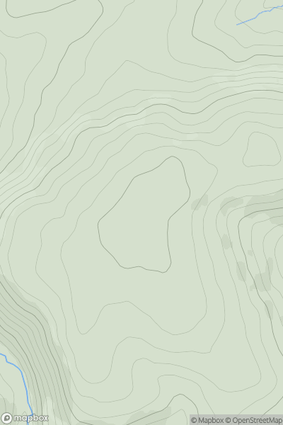
0
Ascents
South Central England
0
307.3User Activity
No recent Activity
![Thumbnail image for Hurst Hill [Central and Eastern England] showing contour plot for surrounding peak](/static/img/mountains_img_db/18484_Hurst_Hill_[Central_and_Eastern_England].png)
0
Ascents
Central and Eastern England
0
159.0User Activity
No recent Activity
0
Ascents
Central and Eastern England
0
94.0User Activity
No recent Activity
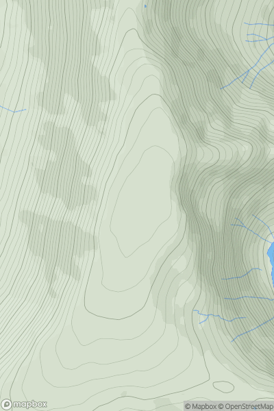
0
Ascents
Lake District E
0
828.0User Activity
No recent Activity