

.png)


0
Ascents

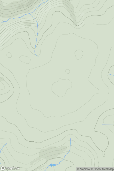
 Lake District C&W
 0
0 445.5
445.5User Activity
No recent Activity
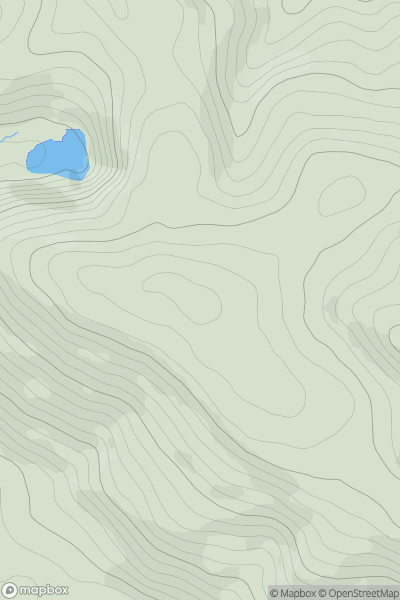
![Thumbnail image for The Howe [Lake District C&W] showing contour plot for surrounding peak](/static/img/mountains_img_db/19336_The_Howe_[Lake_District_C&W].png)
0
Ascents
Lake District C&W
0
52.0User Activity
No recent Activity
0
Ascents
South West England
0
185.0User Activity
No recent Activity
0
Ascents
South Central England
0
386.0User Activity
No recent Activity
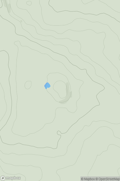
![Thumbnail image for Broom Hill [Shropshire] showing contour plot for surrounding peak](/static/img/mountains_img_db/17039_Broom_Hill_[Shropshire].png)
0
Ascents
Shropshire
0
288.0User Activity
No recent Activity
0
Ascents
Lancashire, Cheshire and S Pennines
0
178.6User Activity
No recent Activity