


0
Ascents

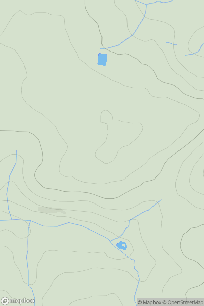
 South West England
 0
0 172.6
172.6User Activity
No recent Activity
0
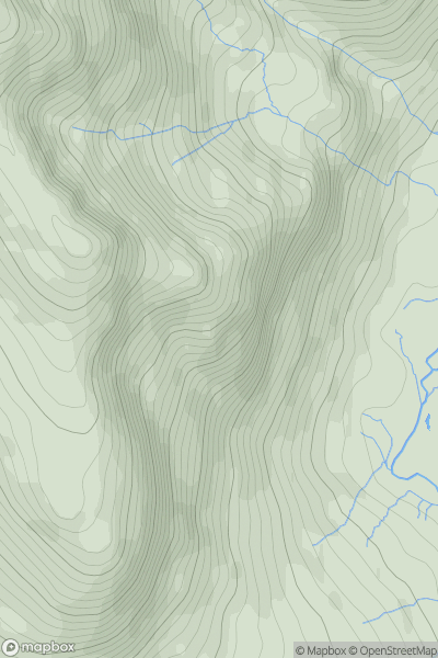
Ascents
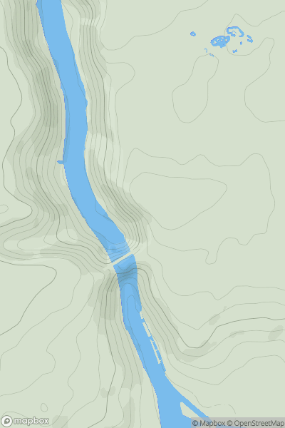
Lake District C&W
0
676.0User Activity
No recent Activity
0
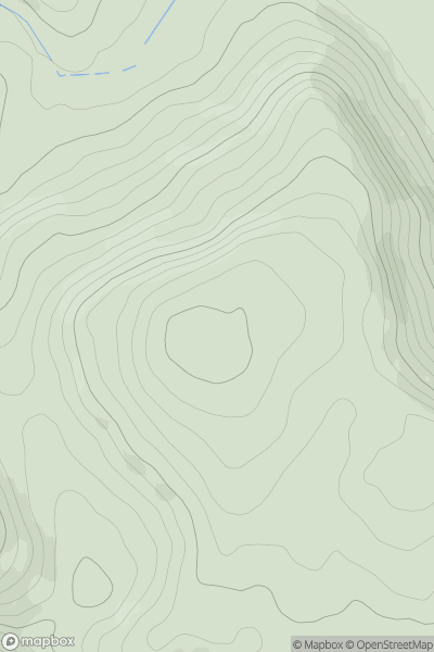
Ascents
Welsh Borders S
0
201.0User Activity
No recent Activity
0
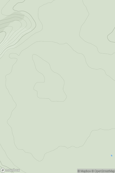
Ascents
The River Tees to The Wash
0
182.8User Activity
No recent Activity
0
Ascents
Central and Eastern England
0
102.0User Activity
No recent Activity
0
Ascents
South West England
0
130.0User Activity
No recent Activity