


0
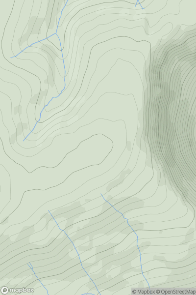
Ascents

 Lake District E
 0
0 754.0
754.0User Activity
No recent Activity
0
Ascents
South East England
0
55.0User Activity
No recent Activity
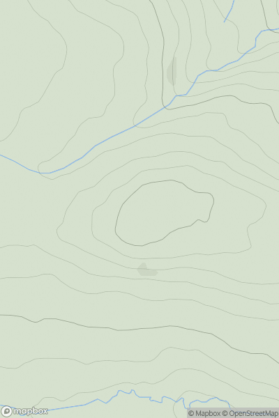
0
Ascents
North Pennines
0
411.0User Activity
No recent Activity
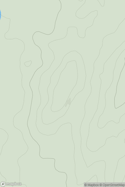
0
Ascents
Lake District S
0
95.0User Activity
No recent Activity
0
Ascents
Lake District S
0
203.0User Activity
No recent Activity
0
Ascents
Lake District E
0
421.0User Activity
No recent Activity