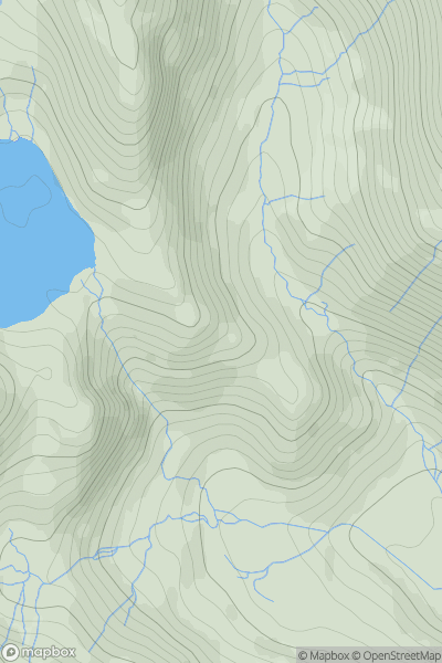
Ariel drone view of mountainous landscape with rolling clouds flowing over peak

Journal your hikes and share your adventures.

Bag peaks across the UK & Ireland, track your progress and see updates from Donder's growing community of hikers.

Donder's profile view available to users after sign-up, shows example user with progress tracking, hiking journal and user leaderboard

Thumbnail image for Kennel Crag showing contour plot for surrounding peak
ENG
Icon of location pin
412m
Icon of vertical, double ended, arrow to symbolise height of mountain

Kennel Crag

Icon of mountain used to symbolise the number of ascents made by users

0
Ascents

Thumbnail image for Briery Busk showing contour plot for surrounding peak
ENG
Icon of location pin
311m
Icon of vertical, double ended, arrow to symbolise height of mountain

Briery Busk

Icon of mountain used to symbolise the number of ascents made by users

0
Ascents

Thumbnail image for High Dodd showing contour plot for surrounding peak
ENG
Icon of location pin
501m
Icon of vertical, double ended, arrow to symbolise height of mountain

High Dodd

Icon of mountain used to symbolise the number of ascents made by users

0
Ascents

Thumbnail image for Rickford Hill showing contour plot for surrounding peak
ENG
Icon of location pin
125m
Icon of vertical, double ended, arrow to symbolise height of mountain

Rickford Hill

Icon of mountain used to symbolise the number of ascents made by users

0
Ascents

Thumbnail image for Warham Salt Marsh - West showing contour plot for surrounding peak
ENG
Icon of location pin
4m
Icon of vertical, double ended, arrow to symbolise height of mountain

Warham Salt Marsh - West

Icon of mountain used to symbolise the number of ascents made by users

0
Ascents

Thumbnail image for Bowsey Hill showing contour plot for surrounding peak
ENG
Icon of location pin
142m
Icon of vertical, double ended, arrow to symbolise height of mountain

Bowsey Hill

Icon of mountain used to symbolise the number of ascents made by users

0
Ascents