


0
Ascents

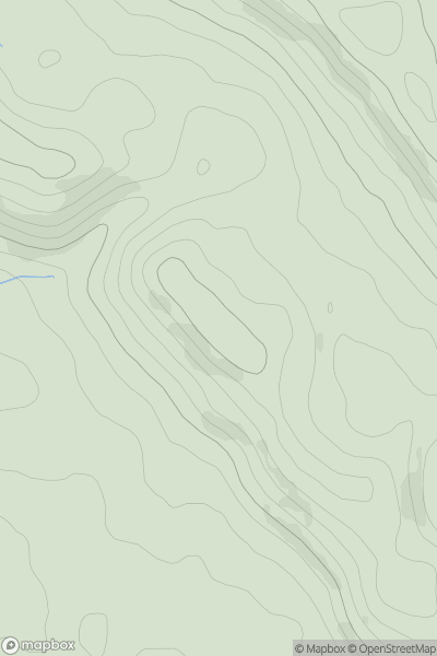
 Welsh Borders S
 0
0 208.0
208.0User Activity
No recent Activity
0
Ascents
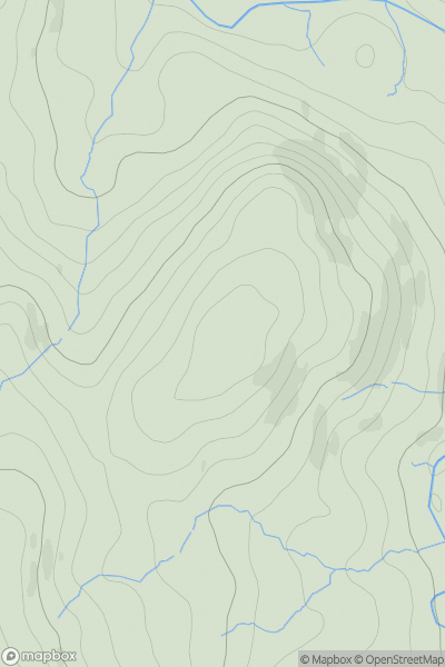
North Pennines
0
352.0User Activity
No recent Activity
0
Ascents
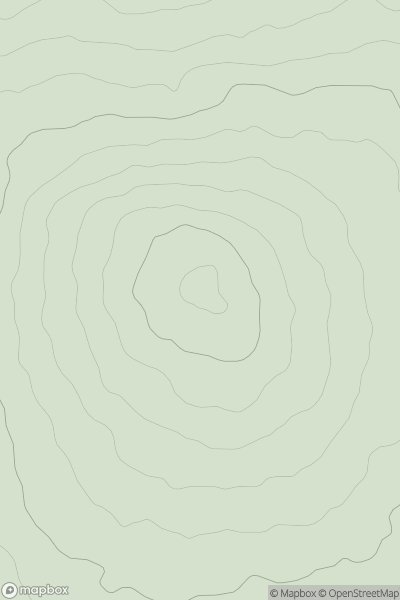
South West England
0
216.0User Activity
No recent Activity
0
Ascents
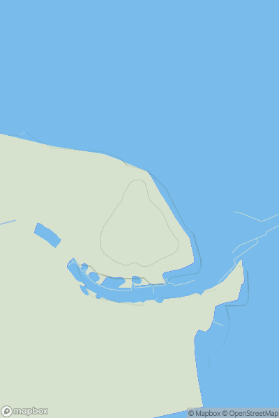
Central and Eastern England
0
16.0User Activity
No recent Activity
0
Ascents
Lake District S
0
239.0User Activity
No recent Activity
0
Ascents
Lake District C&W
0
651.0User Activity
No recent Activity