


0
Ascents

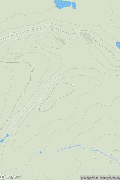
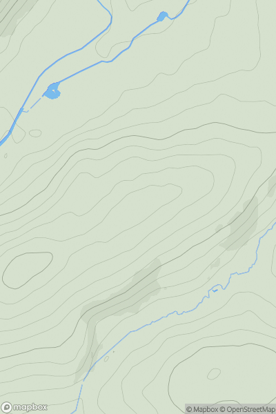
 Shropshire
 0
0 206.3
206.3User Activity
No recent Activity
0
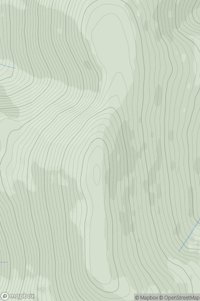
Ascents
Lake District N
0
924.1User Activity
No recent Activity
0
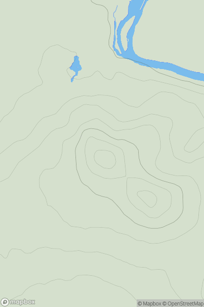
Ascents
Central and Eastern England
0
123.4User Activity
No recent Activity
0
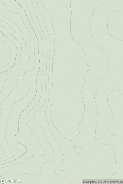
Ascents
Central and Eastern England
0
301.0User Activity
No recent Activity
0
Ascents
South West England
0
97.0User Activity
No recent Activity
0
Ascents
Northumberland
0
152.0User Activity
No recent Activity